Cape Flinders Topo Map Online
Download Free Topo Map Sheet 077B08 at 1:50,000 scale
077B08 Cape Flinders Topo Map
To view this map, mouse over the map preview on the right.
You can also download this topo map for free:
077B08 Cape Flinders high-resolution topo map image.
Maps for the Cape Flinders topo map sheet 077B08 at 1:50,000 scale are also available in these versions:
Cape Flinders Surrounding Area Topo Maps
 |
 |
 |
 |
 |
 |
 |
 |
 |
 |
 |
 |
 |
 |
 |
 |
© Department of Natural Resources Canada. All rights reserved.
Cape Flinders Gazetteer
The following places can be found on topographic map sheet 077B08 Cape Flinders:
Cape Flinders Topo Map: Bays
Bathurst InletCoronation Gulf
Riley Bay
Walker Bay
Cape Flinders Topo Map: Capes
Cape FlindersKent Peninsula
Cape Flinders Topo Map: Channels
Dease StraitCape Flinders Topo Map: Islands
Entry IslandsWedge Island
Cape Flinders Topo Map: Rivers
Augustus River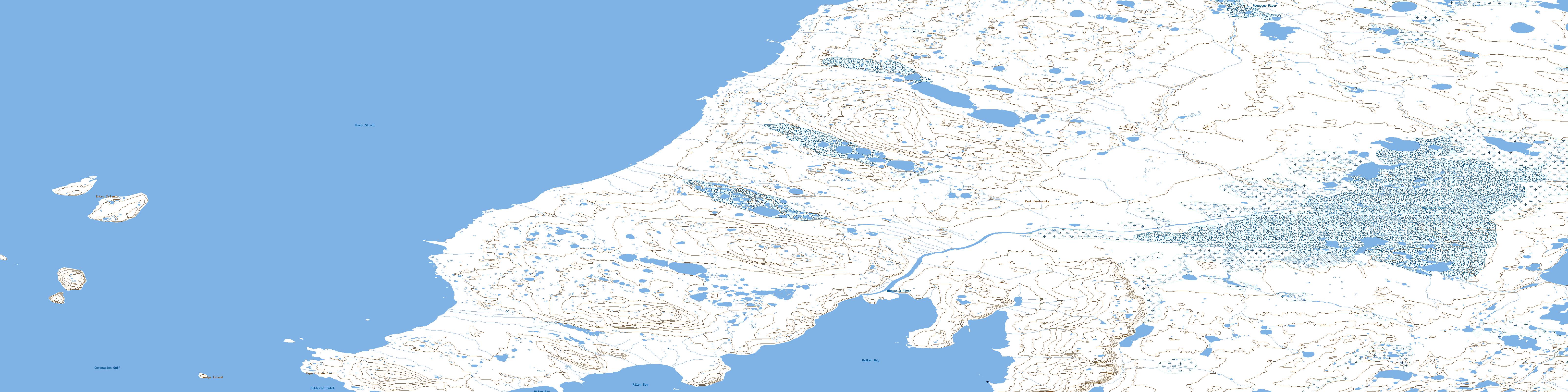
© Department of Natural Resources Canada. All rights reserved.
077B Related Maps:
077B Richardson Islands077B01 Porden Islands
077B02E Wilmot Islands
077B02W Wilmot Islands
077B03E Cape Barrow
077B03W Cape Barrow
077B04W No Title
077B05E Bate Islands
077B05W Bate Islands
077B06W No Title
077B07E No Title
077B08 Cape Flinders
077B09 Cape Franklin
077B10 No Title
077B11 Wilbank Bay
077B12 Johansen Bay
077B13 No Title
077B14 No Title
077B15 No Title
077B16 No Title
