Grand Forks Topo Map Online
Download Free Topo Map Sheet 082E01 at 1:50,000 scale
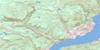
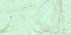
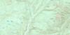
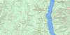
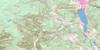
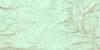
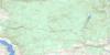
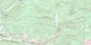
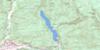
082E01 Grand Forks Topo Map
To view this map, mouse over the map preview on the right.
You can also download this topo map for free:
082E01 Grand Forks high-resolution topo map image.
Maps for the Grand Forks topo map sheet 082E01 at 1:50,000 scale are also available in these versions:
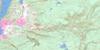
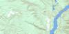
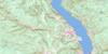
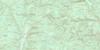
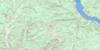
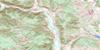
Grand Forks Surrounding Area Topo Maps
 |
 |
 |
 |
 |
 |
 |
 |
 |
 |
 |
 |
 |
 |
 |
 |
© Department of Natural Resources Canada. All rights reserved.
Grand Forks Gazetteer
The following places can be found on topographic map sheet 082E01 Grand Forks:
Grand Forks Topo Map: Bays
English CoveGrand Forks Topo Map: Capes
Bald PointDeer Point
English Point
Knob Point
Lavalley Point
Lighthouse Point
Texas Point
Grand Forks Topo Map: City
Grand ForksGrand Forks Topo Map: Falls
Cascade FallsGrand Forks Topo Map: Lakes
Christina LakeWard Lake
Wards Lake
Xenia Lake
Grand Forks Topo Map: Mountains
Baker RidgeCastle Mountain
Christina Range
Columbia Mountains
Goat Mountain
Midway Range
Monashee Mountains
Mount Gladstone
Mount Morrissey
Mount St. Thomas
Observation Mountain
Rossland Range
Thimble Mountain
Grand Forks Topo Map: Major municipal/district area - major agglomerations
Regional District of Central KootenayRegional District of Kootenay-Boundary
Grand Forks Topo Map: Conservation areas
Christina Lake ParkOle Johnson Park
Texas Creek Park
Grand Forks Topo Map: Rivers
Alder CreekAmerican Fork
Angelo Creek
Baker Creek
Benninger Creek
Big Sheep Creek
Bitter Creek
Bonanza Creek
Bowser Creek
Broken Creek
Brooks Creek
Brown Creek
Cameron Creek
Chandler Creek
Christina Creek
Colbran Creek
Copper Creek
Coryell Creek
Dan O'Rea Creek
Day Creek
Effie Creek
Fisherman Creek
Frae Creek
Gill Creek
Gilpin Creek
Glover Creek
Granby River
Hagglund Creek
Hardy Creek
Hooper Creek
Hornet Creek
Hull Creek
Hunters Creek
Iron Creek
Italy Creek
Josh Creek
Kettle River
Lighthouse Creek
Lime Creek
Linburg Creek
Lynch Creek
Maida Creek
Manly Creek
Mastodon Creek
McCarthy Creek
McRae Creek
Miller Creek
Mitchener Creek
Mollie Creek
Moody Creek
Moran Creek
Moret Creek
Morrissey Creek
Neff Creek
O'Farrell Creek
Orian Creek
Overton Creek
Parson Creek
Pass Creek
Pathfinder Creek
Rathmullen Creek
Red Ochre Creek
Renwick Creek
Rock Candy Creek
Ruckle Creek
Sand Creek
Sandner Creek
Santa Rosa Creek
Seal Creek
Seggie Creek
Snowball Creek
Spaulding Creek
Spooner Creek
Stewart Creek
Summs Creek
Sutherland Creek
Swehaw Creek
Texas Creek
Thomas Creek
Toronto Creek
Trapper Creek
Treadmill Creek
Troy Creek
Volcanic Creek
Walker Creek
Xenia Creek
Grand Forks Topo Map: Unincorporated areas
Almond GardensBillings
Carson
Cascade
Christina
Christina Lake
Coryell
Cuprum
Fife
Fisherman
Gilpin
Lafferty
Niagara
Nursery
Paulson
Rideau
West Grand Forks
Grand Forks Topo Map: Valleys
Bonanza Pass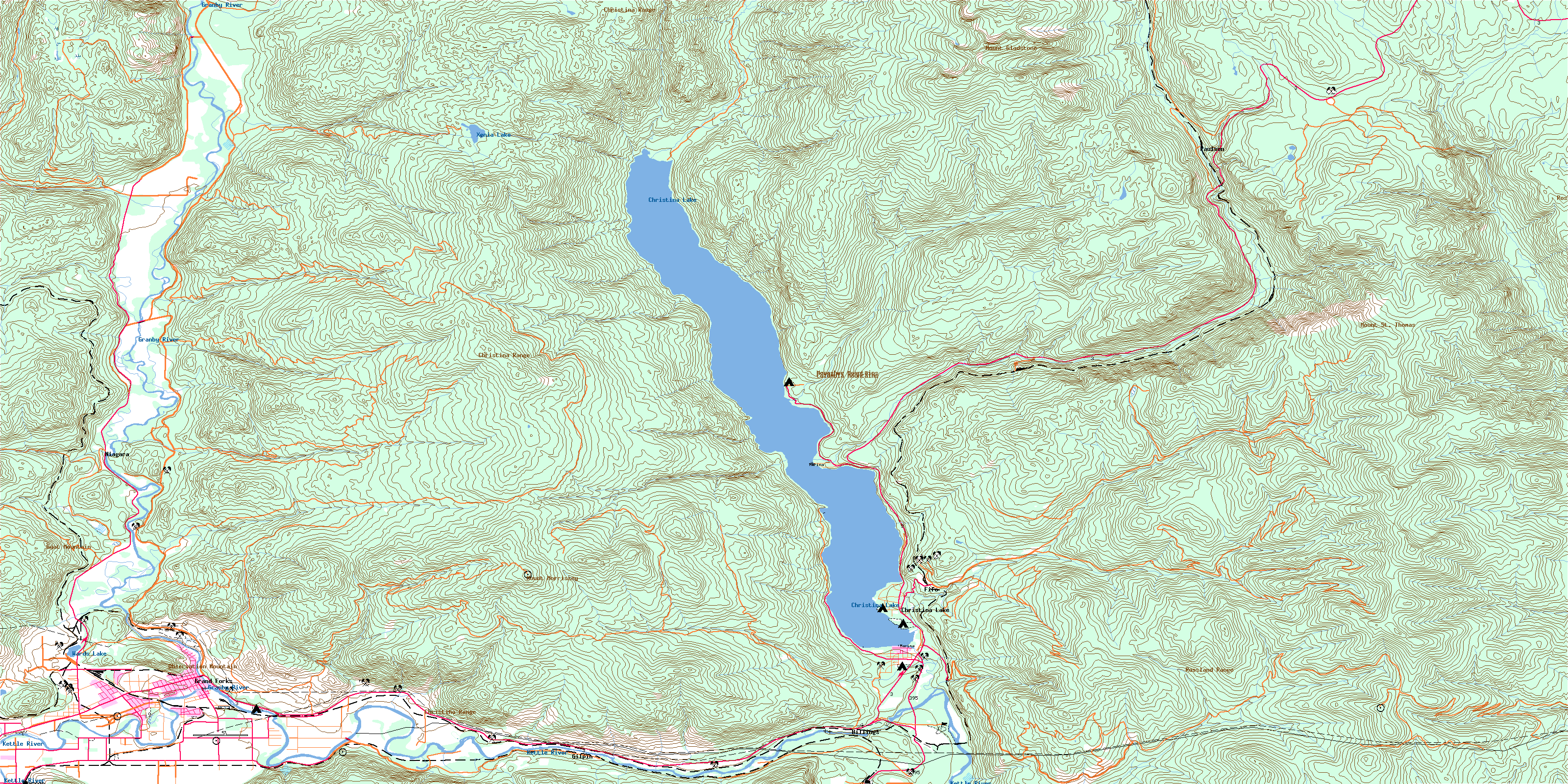
© Department of Natural Resources Canada. All rights reserved.
082E Related Maps:
082E Penticton082E01 Grand Forks
082E02 Greenwood
082E03 Osoyoos
082E04 Keremeos
082E05 Penticton
082E06 Beaverdell
082E07 Almond Mountain
082E08 Deer Park
082E09 Burrell Creek
082E10 Christian Valley
082E11 Wilkinson Creek
082E12 Summerland
082E13 Peachland
082E14 Kelowna
082E15 Damfino Creek
082E16 Edgewood
