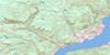
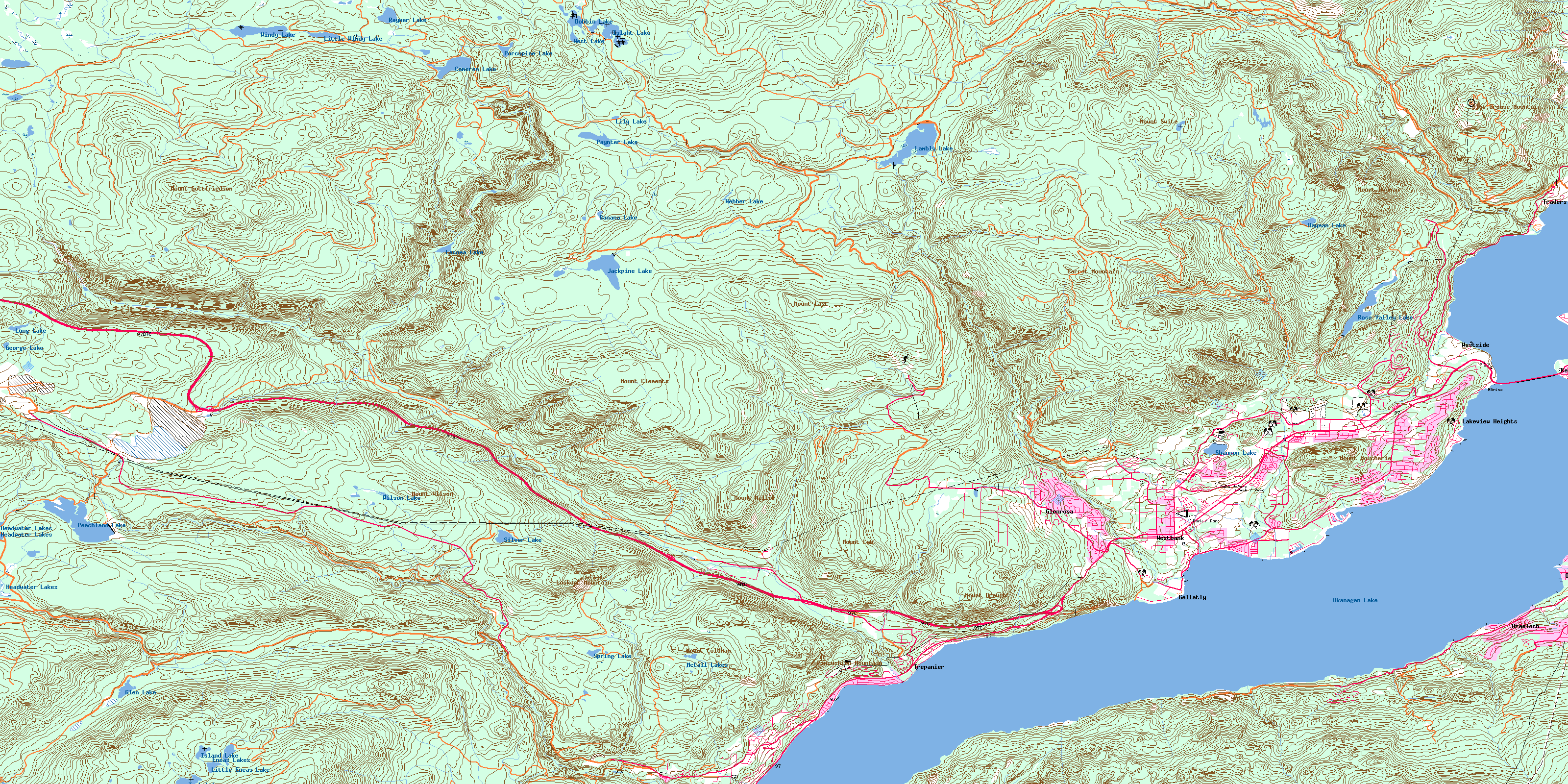
Peachland Topo Map Online
Download Free Topo Map Sheet 082E13 at 1:50,000 scale
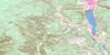
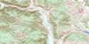
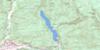
082E13 Peachland Topo Map
To view this map, mouse over the map preview on the right.
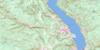
You can also download this topo map for free:
082E13 Peachland high-resolution topo map image.
Maps for the Peachland topo map sheet 082E13 at 1:50,000 scale are also available in these versions:
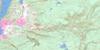
Peachland Surrounding Area Topo Maps
 |
 |
 |
 |
 |
 |
 |
 |
 |
 |
 |
 |
 |
 |
 |
 |
© Department of Natural Resources Canada. All rights reserved.
Peachland Gazetteer
The following places can be found on topographic map sheet 082E13 Peachland:
Peachland Topo Map: Bays
Green BayPincushion Bay
Peachland Topo Map: Capes
Boucheries PointHalfway Point
Manhattan Point
Siwash Point
Peachland Topo Map: City
KelownaPeachland Topo Map: District municipality
District of West KelownaPeachland
Westside
Peachland Topo Map: Geographical areas
Kamloops Division Yale Land DistrictOsoyoos Division Yale Land District
Similkameen Division Yale Land District
Peachland Topo Map: Indian Reserves
Réserve indienne Tsinstikeptum 10Réserve indienne Tsinstikeptum 9
Tsinstikeptum Indian Reserve 10
Tsinstikeptum Indian Reserve 9
Peachland Topo Map: Lakes
Art PondBanana Lake
Cameo Lake
Cameron Lake
Dobbin Lake
Eneas Lakes
George Lake
Glen Lake
Hayman Lake
Headwater Lakes
Islaht Lake
Island Lake
Jackpine Lake
Lacoma Lake
Lambly Lake
Lily Lake
Little Eneas Lake
Little Windy Lake
Long Lake
McCall Lakes
Okanagan Lake
Paynter Lake
Peachland Lake
Porcupine Lake
Raymer Lake
Rose Valley Lake
Shannon Lake
Silver Lake
Spring Lake
Tsuh Lake
Webber Lake
West Lake
Wilson Lake
Windy Lake
Peachland Topo Map: Mountains
Blue Grouse MountainBouchier Mountain
Carrot Mountain
Lookout Mountain
Mount Boucherie
Mount Clements
Mount Coldham
Mount Drought
Mount Gottfriedsen
Mount Hayman
Mount Last
Mount Law
Mount Miller
Mount Swite
Mount Wilson
Pincushion Mountain
Peachland Topo Map: Major municipal/district area - major agglomerations
Regional District of Central KootenayRegional District of Central Okanagan
Peachland Topo Map: Conservation areas
Bear Creek ParkEneas Lakes Park
Kalamoir Park
Okanagan Mountain Park
Westbank Park
Peachland Topo Map: Plains
Interior PlateauThompson Plateau
Peachland Topo Map: Recreational sites
Crystal MountainPeachland Topo Map: Rivers
Ashley CreekBald Range Creek
Banana Creek
Bellevue Creek
Bertram Creek
Bit Creek
Blue Grouse Creek
Bolingbroke Creek
Bolivar Creek
Bowen Creek
Clover Creek
Davidson Creek
Deeper Creek
Deland Creek
Drought Creek
Faulkner Creek
Finlay Creek
George Creek
Greata Creek
Harding Creek
Hayman Creek
Hidden Creek
Hill Creek
Jack Creek
Jennie Creek
John Moore Creek
Keefe Creek
Kelowna Creek
Lacoma Creek
Lambly Creek
Law Creek
Lebanon Creek
MacDonald Creek
McCall Creek
McDougall Creek
Mile Creek
North Lambly Creek
North Powers Creek
Peachland Creek
Pigeon Creek
Powers Creek
Reil Creek
Rembler Creek
Reservoir Creek
Scroggins Creek
Second Creek
Silver Creek
Smith Creek
Snowsell Creek
Stony Creek
Sweid Creek
Terrace Creek
Tomat Creek
Trépanier Creek
Trout Creek
Varty Creek
Venner Creek
Walker Creek
Westbank Creek
Peachland Topo Map: Unincorporated areas
BraelochGellatly
Glenrosa
Lakeview Heights
Okanagan Mission
Traders Cove
Trépanier
Westbank
Westside
Peachland Topo Map: Valleys
Wild Horse CanyonWilson Gulch
© Department of Natural Resources Canada. All rights reserved.
082E Related Maps:
082E Penticton082E01 Grand Forks
082E02 Greenwood
082E03 Osoyoos
082E04 Keremeos
082E05 Penticton
082E06 Beaverdell
082E07 Almond Mountain
082E08 Deer Park
082E09 Burrell Creek
082E10 Christian Valley
082E11 Wilkinson Creek
082E12 Summerland
082E13 Peachland
082E14 Kelowna
082E15 Damfino Creek
082E16 Edgewood
