Mount Revelstoke Topo Map Online
Download Free Topo Map Sheet 082M01 at 1:50,000 scale
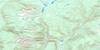
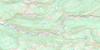
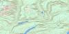
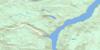
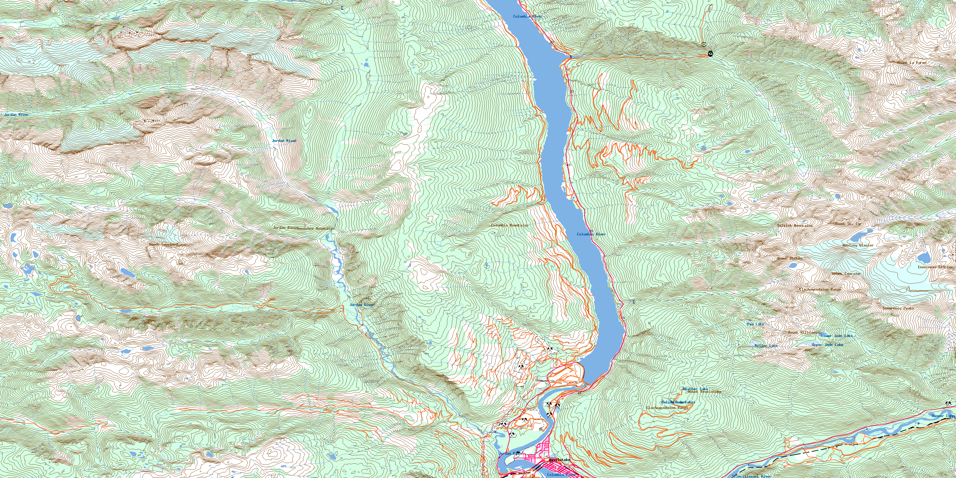
082M01 Mount Revelstoke Topo Map
To view this map, mouse over the map preview on the right.
You can also download this topo map for free:
082M01 Mount Revelstoke high-resolution topo map image.
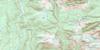
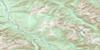
Maps for the Mount Revelstoke topo map sheet 082M01 at 1:50,000 scale are also available in these versions:
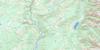
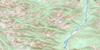
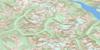
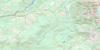
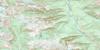
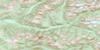
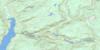
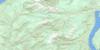
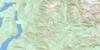
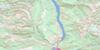
Mount Revelstoke Surrounding Area Topo Maps
 |
 |
 |
 |
 |
 |
 |
 |
 |
 |
 |
 |
 |
 |
 |
 |
© Department of Natural Resources Canada. All rights reserved.
Mount Revelstoke Gazetteer
The following places can be found on topographic map sheet 082M01 Mount Revelstoke:
Mount Revelstoke Topo Map: Capes
Broken PointMount Revelstoke Topo Map: City
RevelstokeMount Revelstoke Topo Map: Falls
Silvertip FallsMount Revelstoke Topo Map: Glaciers
Clachnacudainn IcefieldFrench Glacier
Gordon Glacier
Inverness Glacier
Mud Glacier
Woolsey Glacier
Mount Revelstoke Topo Map: Hydraulic construction
Revelstoke DamMount Revelstoke Topo Map: Lakes
Balsam LakeBalsam Lakes
Eva Lake
Hanner Lake
Heather Lake
Lake Revelstoke
Lower Jade Lake
Millar Lake
Miller Lake
Perry Lake
Upper Jade Lake
Mount Revelstoke Topo Map: Mountains
Big Bend RangesCarnes Peak
Clachnacudainn Range
Columbia Mountains
Copeland Ridge
Derickson Ridge
Frisby Ridge
Inverness Peaks
Jordan Range
Keystone Peak
Kinbasket Mountain
Monashee Mountains
Mount Copeland
Mount Coursier
Mount Dickey
Mount Klotz
Mount La Forme
Mount Revelstoke
Mount St. Cyr
Mount Williamson
Neptune Peak
North Queest Mountain
Remillard Peak
Selkirk Mountains
Sentry Mountain
Mount Revelstoke Topo Map: Major municipal/district area - major agglomerations
Columbia-Shuswap Regional DistrictMount Revelstoke Topo Map: Conservation areas
Lake Revelstoke ParkMartha Creek Park
Mount Revelstoke National Park of Canada
Parc national du Canada du Mont-Revelstoke
Mount Revelstoke Topo Map: Rapids
Big EddySteamboat Rapids
Mount Revelstoke Topo Map: Rivers
Bachelor CreekBenedict Creek
Bews Creek
Bluewater Creek
Bridge Creek
Clachnacudainn Creek
Columbia River
Comedy Creek
Copeland Creek
Coursier Creek
Crazy Creek
Cupola Creek
Deadmans Creek
Eight Mile Creek
Elm Creek
Fleuve Columbia
Frisby Creek
Game Creek
Graham Creek
Greeley Creek
Greely Creek
Hamilton Creek
Hathaway Creek
Hiren Creek
Hunakwa Creek
Illecillewaet River
Jordan River
Kirkup Creek
La Forme Creek
Martha Creek
Maunder Creek
Myoff Creek
Nixon Creek
Sale Creek
St. Cyr Creek
West Woolsey Creek
Mount Revelstoke Topo Map: Unincorporated areas
Big EddyGreeley
Mount Revelstoke Topo Map: Valleys
Caribou BasinGroundhog Basin
Ice Box
Keystone Basin
Little Dalles Canyon
© Department of Natural Resources Canada. All rights reserved.
082M Related Maps:
082M Seymour Arm082M01 Mount Revelstoke
082M02 Perry River
082M03 Albas
082M04 Adams Plateau
082M05 North Barriere Lake
082M06 Cayenne Creek
082M07 Ratchford Creek
082M08 Downie Creek
082M09 Goldstream River
082M10 Hoskins Creek
082M11 Adams River
082M12 Vavenby
082M13 West Raft River
082M14 Messiter
082M15 Scrip Creek
082M16 Argonaut Mountain
