Albas Topo Map Online
Download Free Topo Map Sheet 082M03 at 1:50,000 scale
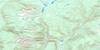
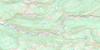
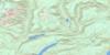
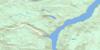
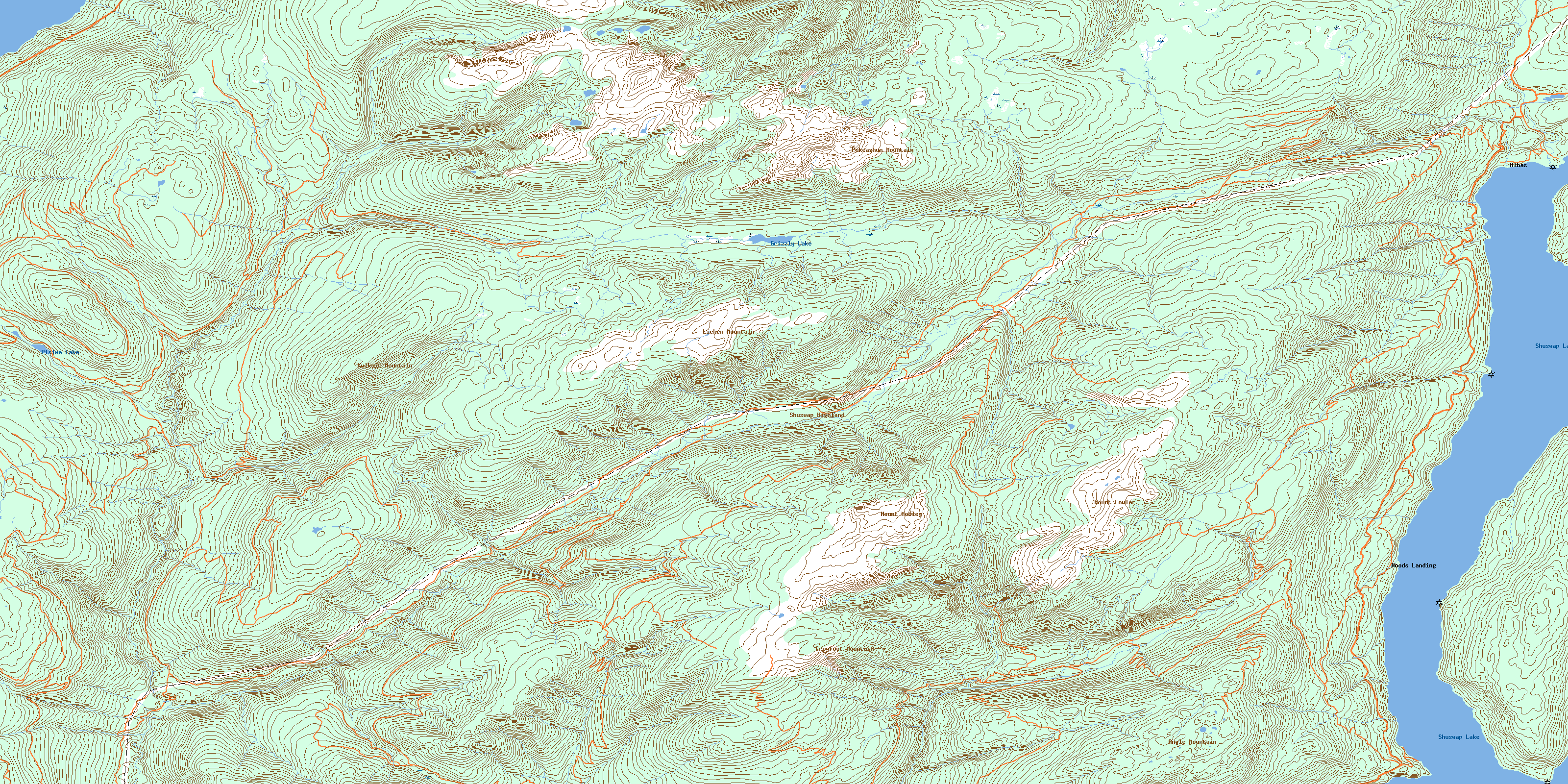
082M03 Albas Topo Map
To view this map, mouse over the map preview on the right.
You can also download this topo map for free:
082M03 Albas high-resolution topo map image.
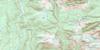
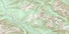
Maps for the Albas topo map sheet 082M03 at 1:50,000 scale are also available in these versions:
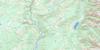
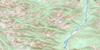
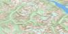
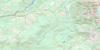
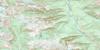
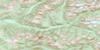
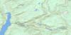
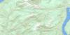
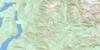
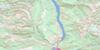
Albas Surrounding Area Topo Maps
 |
 |
 |
 |
 |
 |
 |
 |
 |
 |
 |
 |
 |
 |
 |
 |
© Department of Natural Resources Canada. All rights reserved.
Albas Gazetteer
The following places can be found on topographic map sheet 082M03 Albas:
Albas Topo Map: Bays
Seymour ArmAlbas Topo Map: Beaches
Nielsen BeachAlbas Topo Map: Capes
Brock PointEncounter Point
Ruckell Point
Albas Topo Map: Channels
Cinnemousun NarrowsAlbas Topo Map: Lakes
Adams LakeGrizzly Lake
Pisima Lake
Shuswap Lake
Albas Topo Map: Mountains
Angle MountainCrowfoot Mountain
Kwikoit Mountain
Lichen Mountain
Little Lichen Mountain
Mount Evans
Mount Fowler
Mount Grice-Hutchinson
Mount Mobley
Mount Reid
Pukeashun Mountain
Shuswap Highland
Albas Topo Map: Major municipal/district area - major agglomerations
Columbia-Shuswap Regional DistrictAlbas Topo Map: Conservation areas
Cinnemousun Narrows ParkShuswap Lake Marine Park
Albas Topo Map: Plains
Adams PlateauInterior Plateau
Albas Topo Map: Rivers
Blueberry CreekBowler Creek
Celista Creek
Cross Creek
Five Mile Creek
Gash Creek
Hudson Creek
Kwikoit Creek
Onyx Creek
Pattinson Creek
Pisima Creek
Ruby Creek
Scotch Creek
Snuffbox Creek
Sparkle Creek
Two Mile Creek
Vegetation Creek
Albas Topo Map: Unincorporated areas
AlbasWoods Landing
© Department of Natural Resources Canada. All rights reserved.
082M Related Maps:
082M Seymour Arm082M01 Mount Revelstoke
082M02 Perry River
082M03 Albas
082M04 Adams Plateau
082M05 North Barriere Lake
082M06 Cayenne Creek
082M07 Ratchford Creek
082M08 Downie Creek
082M09 Goldstream River
082M10 Hoskins Creek
082M11 Adams River
082M12 Vavenby
082M13 West Raft River
082M14 Messiter
082M15 Scrip Creek
082M16 Argonaut Mountain
