Wolverine River Topo Map Online
Download Free Topo Map Sheet 084F10 at 1:50,000 scale
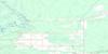
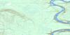
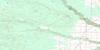
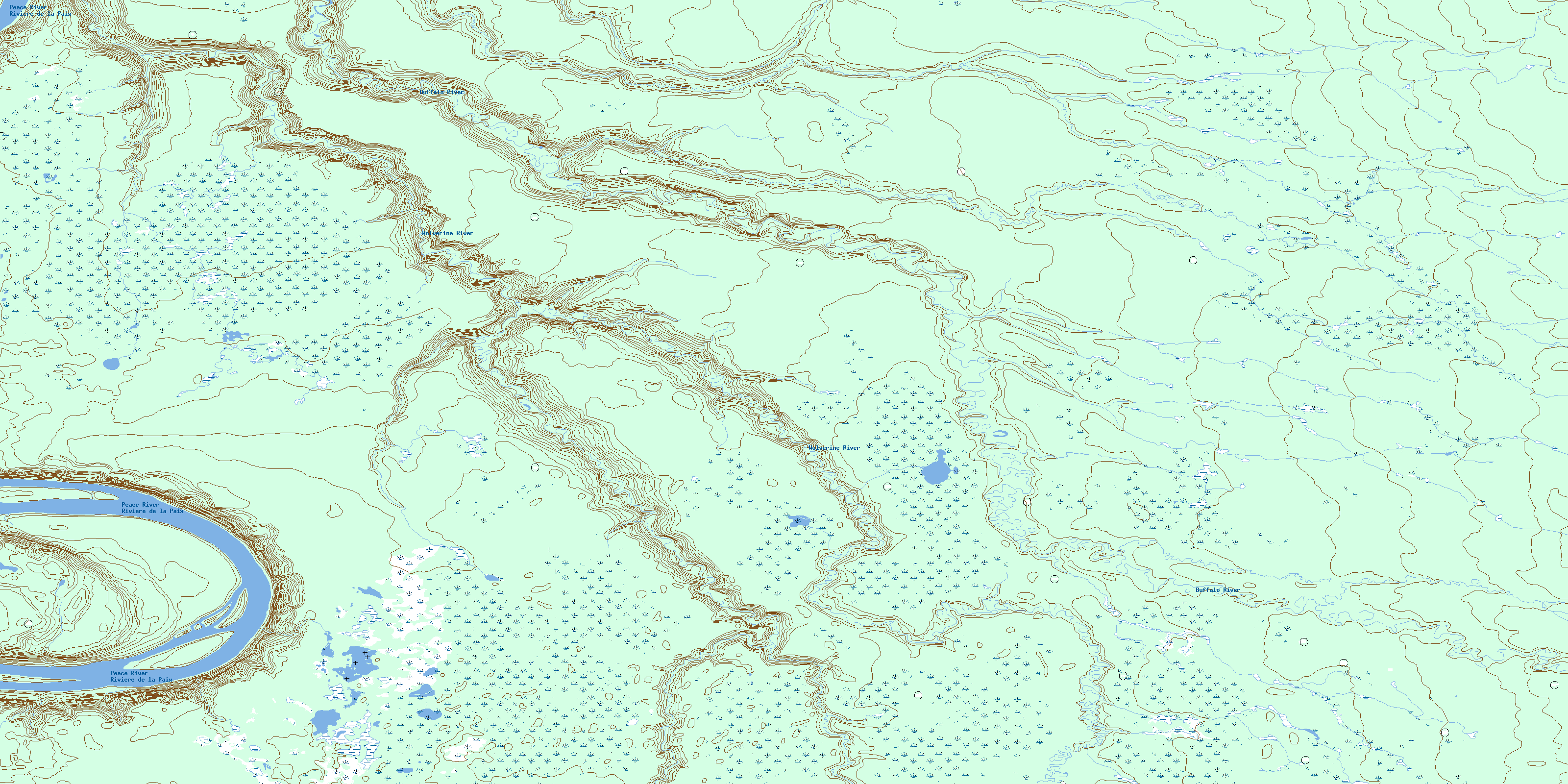
084F10 Wolverine River Topo Map
To view this map, mouse over the map preview on the right.
You can also download this topo map for free:
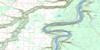
084F10 Wolverine River high-resolution topo map image.
Maps for the Wolverine River topo map sheet 084F10 at 1:50,000 scale are also available in these versions:
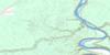
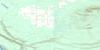
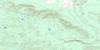
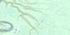
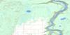
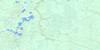
Wolverine River Surrounding Area Topo Maps
 |
 |
 |
 |
 |
 |
 |
 |
 |
 |
 |
 |
 |
 |
 |
 |
© Department of Natural Resources Canada. All rights reserved.
Wolverine River Gazetteer
The following places can be found on topographic map sheet 084F10 Wolverine River:
Wolverine River Topo Map: Major municipal/district area - major agglomerations
Municipal District of Mackenzie No. 23Municipal District of Northern Lights No. 22
Specialized Municipality of Mackenzie No. 23
Wolverine River Topo Map: Rivers
Buffalo RiverCache Creek
Peace River
Rivière de la Paix
Wolverine River
© Department of Natural Resources Canada. All rights reserved.
084F Related Maps:
084F Bison Lake084F01 Bison Lake
084F02 Chester Creek
084F03 Crummy Lake
084F04 Hotchkiss
084F05 Goffit Creek
084F06 Nina Lake
084F07 Buhler Creek
084F08 Rossbear Creek
084F09 Donaldson Lake
084F10 Wolverine River
084F11 Scully Creek
084F12 Kemp River
084F13 Keg River
084F14 Paddle Prairie
084F15 Steephill Creek
084F16 Buffalo Hill
