Osi Lake Topo Map Online
Download Free Topo Map Sheet 084H04 at 1:50,000 scale
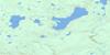
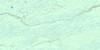
084H04 Osi Lake Topo Map
To view this map, mouse over the map preview on the right.
You can also download this topo map for free:
084H04 Osi Lake high-resolution topo map image.
Maps for the Osi Lake topo map sheet 084H04 at 1:50,000 scale are also available in these versions:
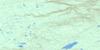
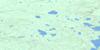
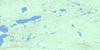
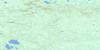
Osi Lake Surrounding Area Topo Maps
 |
 |
 |
 |
 |
 |
 |
 |
 |
 |
 |
 |
 |
 |
 |
 |
© Department of Natural Resources Canada. All rights reserved.
Osi Lake Gazetteer
The following places can be found on topographic map sheet 084H04 Osi Lake:
Osi Lake Topo Map: Lakes
Elizabeth LakeMuskeg Lake
Nikik Lake
Odisque Lake
Osi Lake
Perfume Lake
Zig Zag Lake
Osi Lake Topo Map: Mountains
Birch MountainsOsi Lake Topo Map: Major municipal/district area - major agglomerations
Municipal District of Opportunity No. 17Osi Lake Topo Map: Rivers
Liége RiverOsi Creek
Seaforth Creek
Osi Lake Topo Map: Valleys
Tawatchaw Valley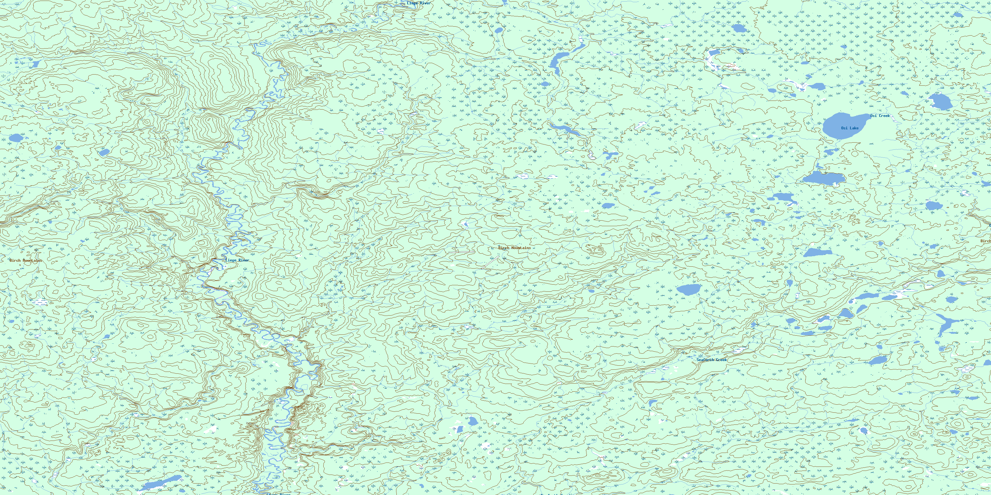
© Department of Natural Resources Canada. All rights reserved.
084H Related Maps:
084H Namur Lake084H01 No Title
084H02 Snipe Creek
084H03 No Title
084H04 Osi Lake
084H05 Burnt Lakes
084H06 No Title
084H07 Legend Lake
084H08 Chelsea Creek
084H09 No Title
084H10 No Title
084H11 Bergeron Creek
084H12 No Title
084H13 Raymond Creek
084H14 No Title
084H15 No Title
084H16 Bayard Lake
