Beniah Lake Topo Map Online
Download Free Topo Map Sheet 085P08 at 1:50,000 scale
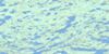
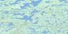
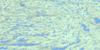
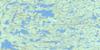
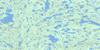
085P08 Beniah Lake Topo Map
To view this map, mouse over the map preview on the right.
You can also download this topo map for free:
085P08 Beniah Lake high-resolution topo map image.
Maps for the Beniah Lake topo map sheet 085P08 at 1:50,000 scale are also available in these versions:
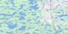
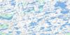
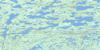
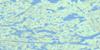
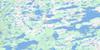
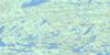
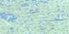
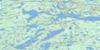
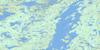
Beniah Lake Surrounding Area Topo Maps
 |
 |
 |
 |
 |
 |
 |
 |
 |
 |
 |
 |
 |
 |
 |
 |
© Department of Natural Resources Canada. All rights reserved.
Beniah Lake Gazetteer
The following places can be found on topographic map sheet 085P08 Beniah Lake:
Beniah Lake Topo Map: Lakes
Angus LakeBeniah Lake
Bridge Lake
Drybones Lake
Horner Lake
Top Lake
Beniah Lake Topo Map: Rivers
Beaulieu River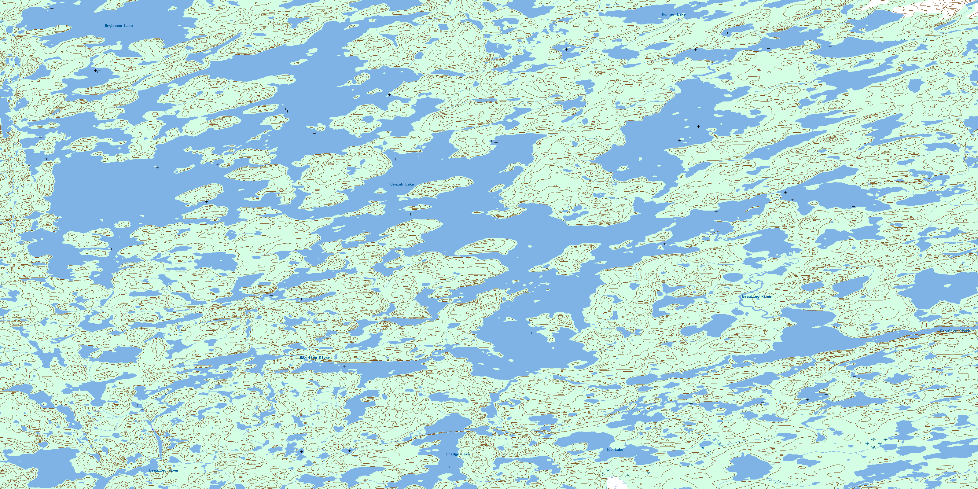
© Department of Natural Resources Canada. All rights reserved.
085P Related Maps:
085P Upper Carp Lake085P01 Spencer Lake
085P02 Agassiz Lake
085P03 Gordon Lake
085P04 Thistlethwaite Lake
085P05 Nardin Lake
085P06 Muir Lake
085P07 Denis Lake
085P08 Beniah Lake
085P09 Lockhart Lake
085P10 Zipper Lake
085P11 Thetis Lake
085P12 Frodsham Lake
085P13 Wecho Lake
085P14 Squalus Lake
085P15 Sharples Lake
085P16 Rupp Lake
