Fort Enterprise Topo Map Online
Download Free Topo Map Sheet 086A06 at 1:50,000 scale
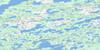
086A06 Fort Enterprise Topo Map
To view this map, mouse over the map preview on the right.
You can also download this topo map for free:
086A06 Fort Enterprise high-resolution topo map image.
Maps for the Fort Enterprise topo map sheet 086A06 at 1:50,000 scale are also available in these versions:
Fort Enterprise Surrounding Area Topo Maps
 |
 |
 |
 |
 |
 |
 |
 |
 |
 |
 |
 |
 |
 |
 |
 |
© Department of Natural Resources Canada. All rights reserved.
Fort Enterprise Gazetteer
The following places can be found on topographic map sheet 086A06 Fort Enterprise:
Fort Enterprise Topo Map: Lakes
Greenstockings LakeRoundrock Lake
Winter Lake
Fort Enterprise Topo Map: Rivers
Snare RiverFort Enterprise Topo Map: Unincorporated areas
Fort Enterprise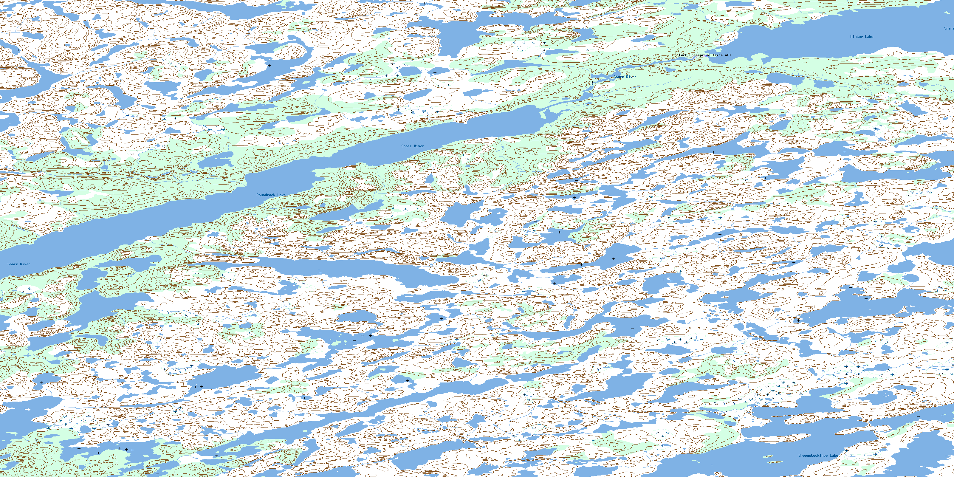
© Department of Natural Resources Canada. All rights reserved.
086A Related Maps:
086A Winter Lake086A01 Mohawk Lake
086A02 Tsan Lake
086A03 Hunter Lake
086A04 Boudellkell Lake
086A05 Piuze Lake
086A06 Fort Enterprise
086A07 Aurora Lake
086A08 Newbigging Lake
086A09 Beauparlant Lake
086A10 Shaw Lake
086A11 Angelique Lake
086A12 Baldhead Lake
086A13 Long Legs Lake
086A14 Little Forehead Lake
086A15 Starvation Lake
086A16 Lake Providence
