Tatla Lake Topo Map Online
Download Free Topo Map Sheet 092N15 at 1:50,000 scale
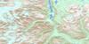
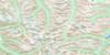
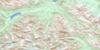
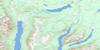
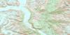
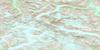
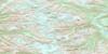
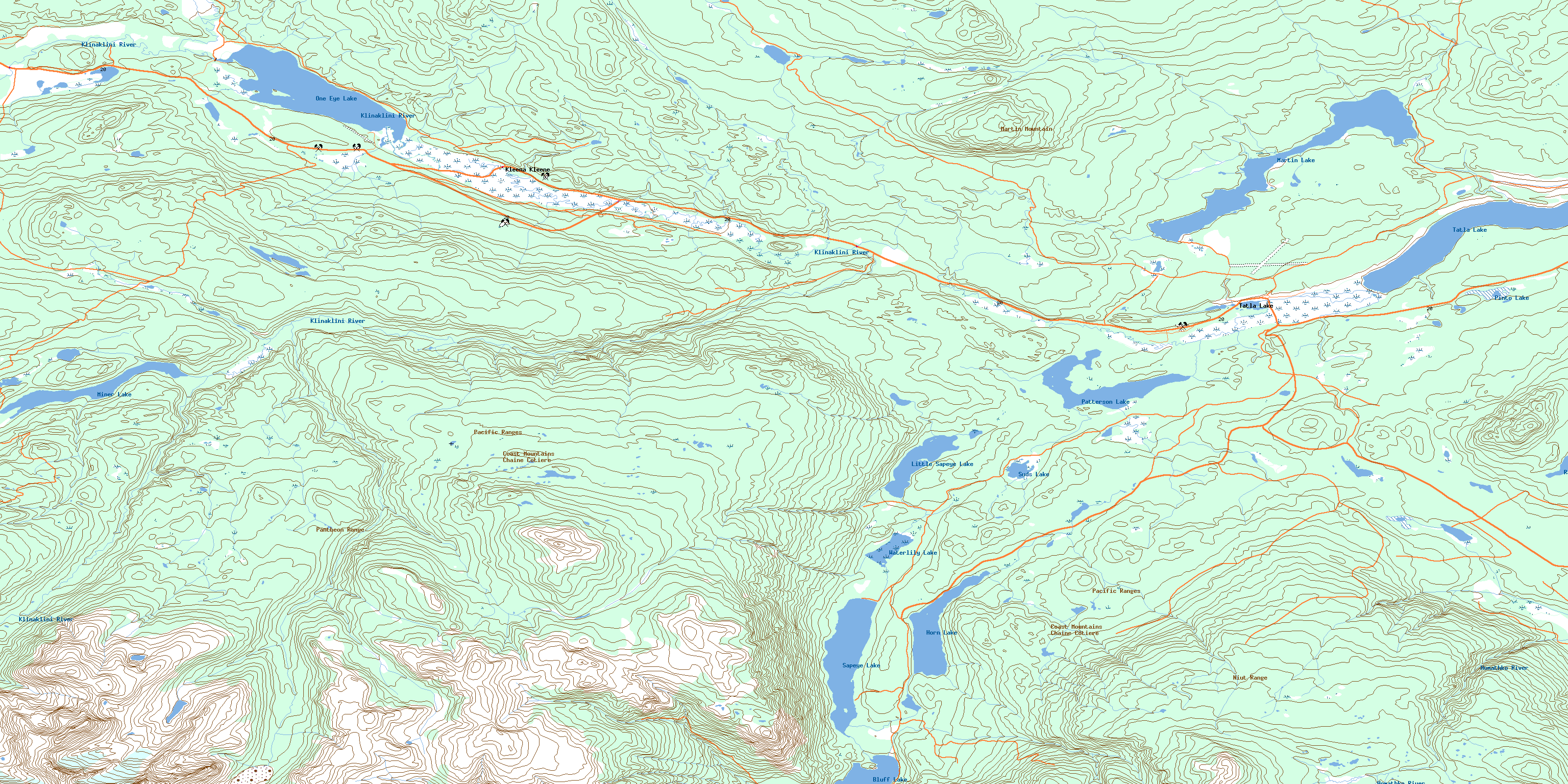
092N15 Tatla Lake Topo Map
To view this map, mouse over the map preview on the right.
You can also download this topo map for free:
092N15 Tatla Lake high-resolution topo map image.
Maps for the Tatla Lake topo map sheet 092N15 at 1:50,000 scale are also available in these versions:
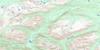
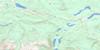
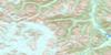
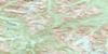
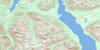
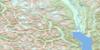
Tatla Lake Surrounding Area Topo Maps
 |
 |
 |
 |
 |
 |
 |
 |
 |
 |
 |
 |
 |
 |
 |
 |
© Department of Natural Resources Canada. All rights reserved.
Tatla Lake Gazetteer
The following places can be found on topographic map sheet 092N15 Tatla Lake:
Tatla Lake Topo Map: Lakes
Agnus LakeBluff Lake
Bracewell Lake
Horn Lake
Little Sapeye Lake
Martin Lake
Martin Lake
Miner Lake
One Eye Lake
Patterson Lake
Pinto Lake
Rant Lake
Sapeye Lake
Suds Lake
Tatla Lake
Waterlily Lake
Tatla Lake Topo Map: Mountains
Chaîne CôtièreCoast Mountains
Martin Mountain
Niut Range
Pacific Ranges
Pantheon Range
Tatla Hill
Tatla Lake Topo Map: Major municipal/district area - major agglomerations
Cariboo Regional DistrictTatla Lake Topo Map: Plains
Fraser PlateauInterior Plateau
Tatla Lake Topo Map: Rivers
Butler CreekCherry Creek
Evjen Creek
Homathko River
Klinaklini River
Martin Lake Creek
McClinchy Creek
Mosley Creek
Puzzle Creek
Quakie Creek
Sapeye Creek
Tatla Lake Creek
Tatla Lake Topo Map: Unincorporated areas
Kleena KleeneTatla Lake
© Department of Natural Resources Canada. All rights reserved.
092N Related Maps:
092N Mount Waddington092N01 Chilko Mountain
092N02 Homathko Icefield
092N03 Whitemantle Creek
092N04 Sim River
092N05 Klinaklini Glacier
092N06 Mount Waddington
092N07 Mount Queen Bess
092N08 Stikelan Creek
092N09 Tatlayoko Lake
092N10 Razorback Mountain
092N11 Siva Glacier
092N12 Trophy Lake
092N13 Knot Lakes
092N14 Bussel Creek
092N15 Tatla Lake
092N16 Eagle Lake
