Marilla Topo Map Online
Download Free Topo Map Sheet 093F12 at 1:50,000 scale
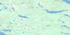
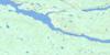
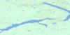
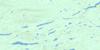
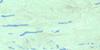
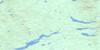
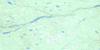
093F12 Marilla Topo Map
To view this map, mouse over the map preview on the right.
You can also download this topo map for free:
093F12 Marilla high-resolution topo map image.
Maps for the Marilla topo map sheet 093F12 at 1:50,000 scale are also available in these versions:
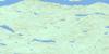
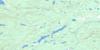
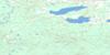
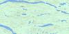
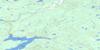
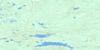
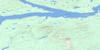
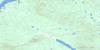
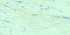
Marilla Surrounding Area Topo Maps
 |
 |
 |
 |
 |
 |
 |
 |
 |
 |
 |
 |
 |
 |
 |
 |
© Department of Natural Resources Canada. All rights reserved.
Marilla Gazetteer
The following places can be found on topographic map sheet 093F12 Marilla:
Marilla Topo Map: Bays
Chief Louis ArmChief Louis Bay
Long Bay
Marilla Topo Map: Capes
Lady Susan PointMarilla Topo Map: Indian Reserves
Cheslatta Indian Reserve 1Réserve indienne Cheslatta 1
Marilla Topo Map: Lakes
Bear LakeCheslatta Lake
Enter Lake
Enz Lake
False Hill Lake
Henson Lake
Intata Lake
Island Lake
McDonell Lake
Nechako Reservoir
Ootsa Lake
Robison Lake
Sam Hardy Lake
Sams Lake
Square Lake
St. Mary Lake
University Lake
White Eye Lake
Marilla Topo Map: Mountains
False HillHenson Hill
Intata Hill
Raymond Hill
Tyee Butte
Windfall Hills
Marilla Topo Map: Major municipal/district area - major agglomerations
Regional District of Bulkley-NechakoMarilla Topo Map: Plains
Interior PlateauNechako Plateau
Marilla Topo Map: Rapids
Joan RapidsPape Rapids
Marilla Topo Map: Rivers
Chelaslie RiverCheslatta River
Henson Creek
Ootsa River
Marilla Topo Map: River features
Intata ReachMarilla Topo Map: Unincorporated areas
Marilla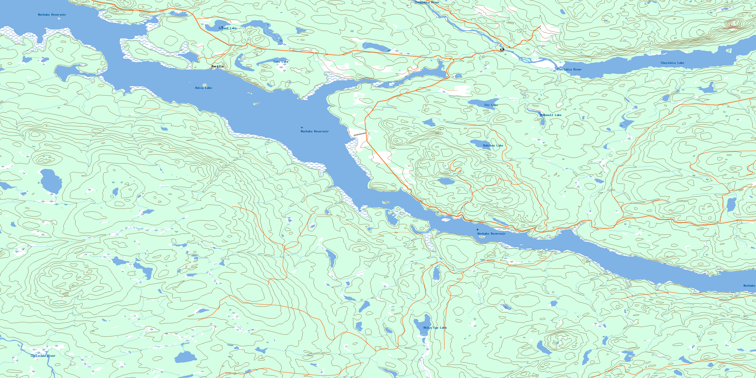
© Department of Natural Resources Canada. All rights reserved.
093F Related Maps:
093F Nechako River093F01 Suscha Creek
093F02 Tsacha Lake
093F03 Fawnie Creek
093F04 Qualcho Lake
093F05 Tetachuck Lake
093F06 Natalkuz Lake
093F07 Chedakuz Creek
093F08 Euchiniko River
093F09 Tatuk Lake
093F10 Big Bend Creek
093F11 Cheslatta Lake
093F12 Marilla
093F13 Takysie Lake
093F14 Knapp Lake
093F15 Hallett Lake
093F16 Nulki Lake
