Knapp Lake Topo Map Online
Download Free Topo Map Sheet 093F14 at 1:50,000 scale
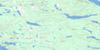
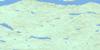
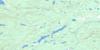
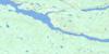
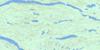
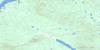
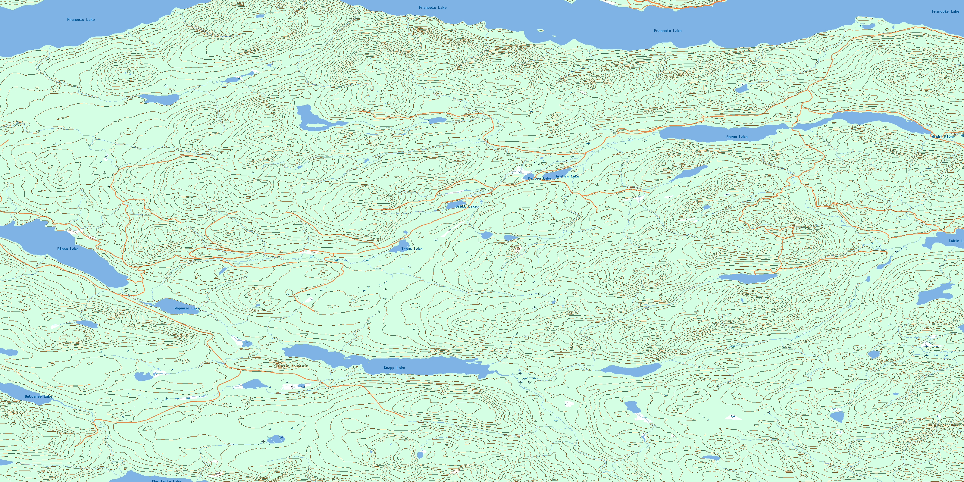
093F14 Knapp Lake Topo Map
To view this map, mouse over the map preview on the right.
You can also download this topo map for free:
093F14 Knapp Lake high-resolution topo map image.
Maps for the Knapp Lake topo map sheet 093F14 at 1:50,000 scale are also available in these versions:
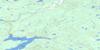
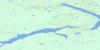
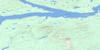
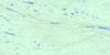
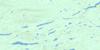
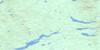
Knapp Lake Surrounding Area Topo Maps
 |
 |
 |
 |
 |
 |
 |
 |
 |
 |
 |
 |
 |
 |
 |
 |
© Department of Natural Resources Canada. All rights reserved.
Knapp Lake Gazetteer
The following places can be found on topographic map sheet 093F14 Knapp Lake:
Knapp Lake Topo Map: Indian Reserves
Baptiste Louis Indian Reserve 8Binta Lake Indian Reserve 2
Binta Lake Indian Reserve 6
Knapp Lake Indian Reserve 6
Réserve indienne Baptiste Louis 8
Réserve indienne Binta Lake 2
Réserve indienne Binta Lake 6
Réserve indienne Knapp Lake 6
Knapp Lake Topo Map: Lakes
Anzus LakeBinta Lake
Borel Lake
Cabin Lake
Cheslatta Lake
François Lake
Graham Lake
Island Lake
Knapp Lake
Meuoon Lake
Ootsanee Lake
Sather Lake
Scott Lake
Trout Lake
Wapoose Lake
Knapp Lake Topo Map: Mountains
Alasla MountainHoly Cross Mountain
Knapp Lake Topo Map: Major municipal/district area - major agglomerations
Regional District of Bulkley-NechakoKnapp Lake Topo Map: Conservation areas
François Lake ParkKnapp Lake Topo Map: Plains
Interior PlateauNechako Plateau
Knapp Lake Topo Map: Rivers
Banguarel CreekKnapp Creek
Nithi River
Targe Creek
© Department of Natural Resources Canada. All rights reserved.
093F Related Maps:
093F Nechako River093F01 Suscha Creek
093F02 Tsacha Lake
093F03 Fawnie Creek
093F04 Qualcho Lake
093F05 Tetachuck Lake
093F06 Natalkuz Lake
093F07 Chedakuz Creek
093F08 Euchiniko River
093F09 Tatuk Lake
093F10 Big Bend Creek
093F11 Cheslatta Lake
093F12 Marilla
093F13 Takysie Lake
093F14 Knapp Lake
093F15 Hallett Lake
093F16 Nulki Lake
