Lion Creek Topo Map Online
Download Free Topo Map Sheet 093M16 at 1:50,000 scale
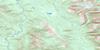
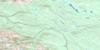
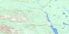
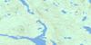
093M16 Lion Creek Topo Map
To view this map, mouse over the map preview on the right.
You can also download this topo map for free:
093M16 Lion Creek high-resolution topo map image.
Maps for the Lion Creek topo map sheet 093M16 at 1:50,000 scale are also available in these versions:
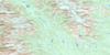
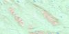
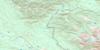
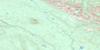
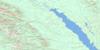
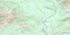
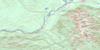
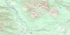
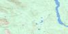
Lion Creek Surrounding Area Topo Maps
 |
 |
 |
 |
 |
 |
 |
 |
 |
 |
 |
 |
 |
 |
 |
 |
© Department of Natural Resources Canada. All rights reserved.
Lion Creek Gazetteer
The following places can be found on topographic map sheet 093M16 Lion Creek:
Lion Creek Topo Map: Indian Reserves
Kotsine (Skutsil) Indian Reserve 2Réserve indienne Kotsine (Skutsil) 2
Lion Creek Topo Map: Mountains
Axelgold RangeCariboo Heart Range
Carrall Ridge
Hogem Ranges
Iktlaki Peak
Mount Bates
Nankai Peak
Omineca Mountains
Sitlika Range
Takki Cone
Lion Creek Topo Map: Major municipal/district area - major agglomerations
Regional District of Bulkley-NechakoLion Creek Topo Map: Rapids
Tuwatenindlay RapidsLion Creek Topo Map: Rivers
Bates CreekDriftwood River
Elmore Creek
Kotsine River
Lion Creek
Ominicetia Creek
Ominicetla Creek
Sitlika Creek
Lion Creek Topo Map: Unincorporated areas
DriftwoodLion Creek Topo Map: Valleys
Sitlika Pass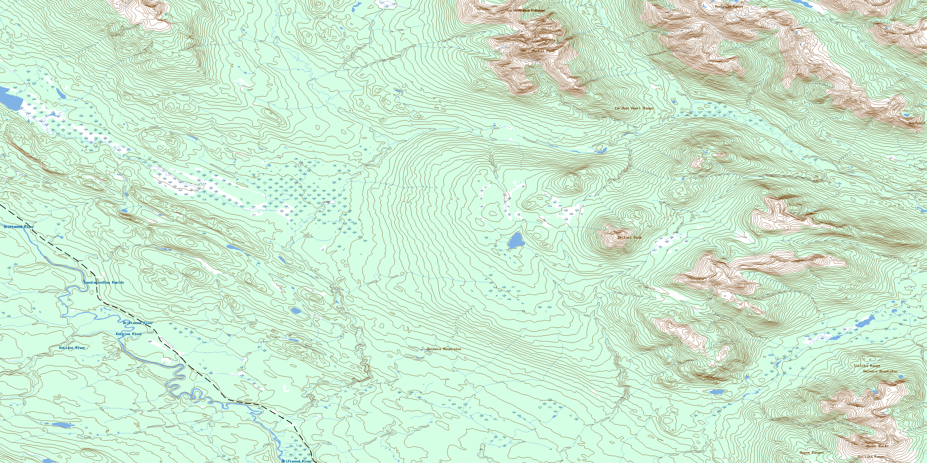
© Department of Natural Resources Canada. All rights reserved.
093M Related Maps:
093M Hazelton093M01 Old Fort Mountain
093M02 Harold Price Creek
093M03 Moricetown
093M04 Skeena Crossing
093M05 Hazelton
093M06 Suskwa River
093M07 Netalzul Mountain
093M08 Nakinilerak Lake
093M09 Bulkley House
093M10 Nilkitkwa River
093M11 Gunanoot Lake
093M12 Cutoff Mountain
093M13 Shedin Creek
093M14 Shelagyote Peak
093M15 Kotsine River
093M16 Lion Creek
