Nakinilerak Lake Topo Map Online
Download Free Topo Map Sheet 093M08 at 1:50,000 scale
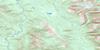
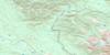
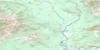
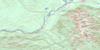
093M08 Nakinilerak Lake Topo Map
To view this map, mouse over the map preview on the right.
You can also download this topo map for free:
093M08 Nakinilerak Lake high-resolution topo map image.
Maps for the Nakinilerak Lake topo map sheet 093M08 at 1:50,000 scale are also available in these versions:
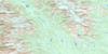
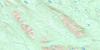
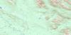
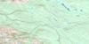
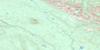
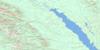
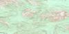
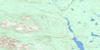
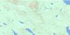
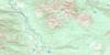
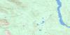
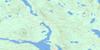
Nakinilerak Lake Surrounding Area Topo Maps
 |
 |
 |
 |
 |
 |
 |
 |
 |
 |
 |
 |
 |
 |
 |
 |
© Department of Natural Resources Canada. All rights reserved.
Nakinilerak Lake Gazetteer
The following places can be found on topographic map sheet 093M08 Nakinilerak Lake:
Nakinilerak Lake Topo Map: Bays
Northwest ArmNakinilerak Lake Topo Map: Cliffs
Reef BluffNakinilerak Lake Topo Map: Indian Reserves
North Tacla Lake (West Landing) Indian Reserve 8Réserve indienne North Tacla Lake (West Landing) 8
Réserve indienne Tacla Lake (Ferry Landing) 9
Réserve indienne Tahlo Lake 24
Tacla Lake (Ferry Landing) Indian Reserve 9
Tahlo Lake Indian Reserve 24
Nakinilerak Lake Topo Map: Lakes
Friday LakeHaul Lake
Macdougall Lake
Morrison Lake
Nakinilerak Lake
Tahlo Lake
Takla Lake
Nakinilerak Lake Topo Map: Mountains
Bait RangeFrypan Peak
Scorched Hill
Skeena Mountains
Trail Peak
Nakinilerak Lake Topo Map: Major municipal/district area - major agglomerations
Regional District of Bulkley-NechakoNakinilerak Lake Topo Map: Plains
Interior PlateauNechako Plateau
Nakinilerak Lake Topo Map: Rivers
Beaverdale CreekDust Creek
Frypan Creek
Guitar Creek
Haul Creek
Macdougall Creek
Sinta Creek
Tahlo Creek
Williams Creek
Nakinilerak Lake Topo Map: Unincorporated areas
West LandingNakinilerak Lake Topo Map: Valleys
Frypan Pass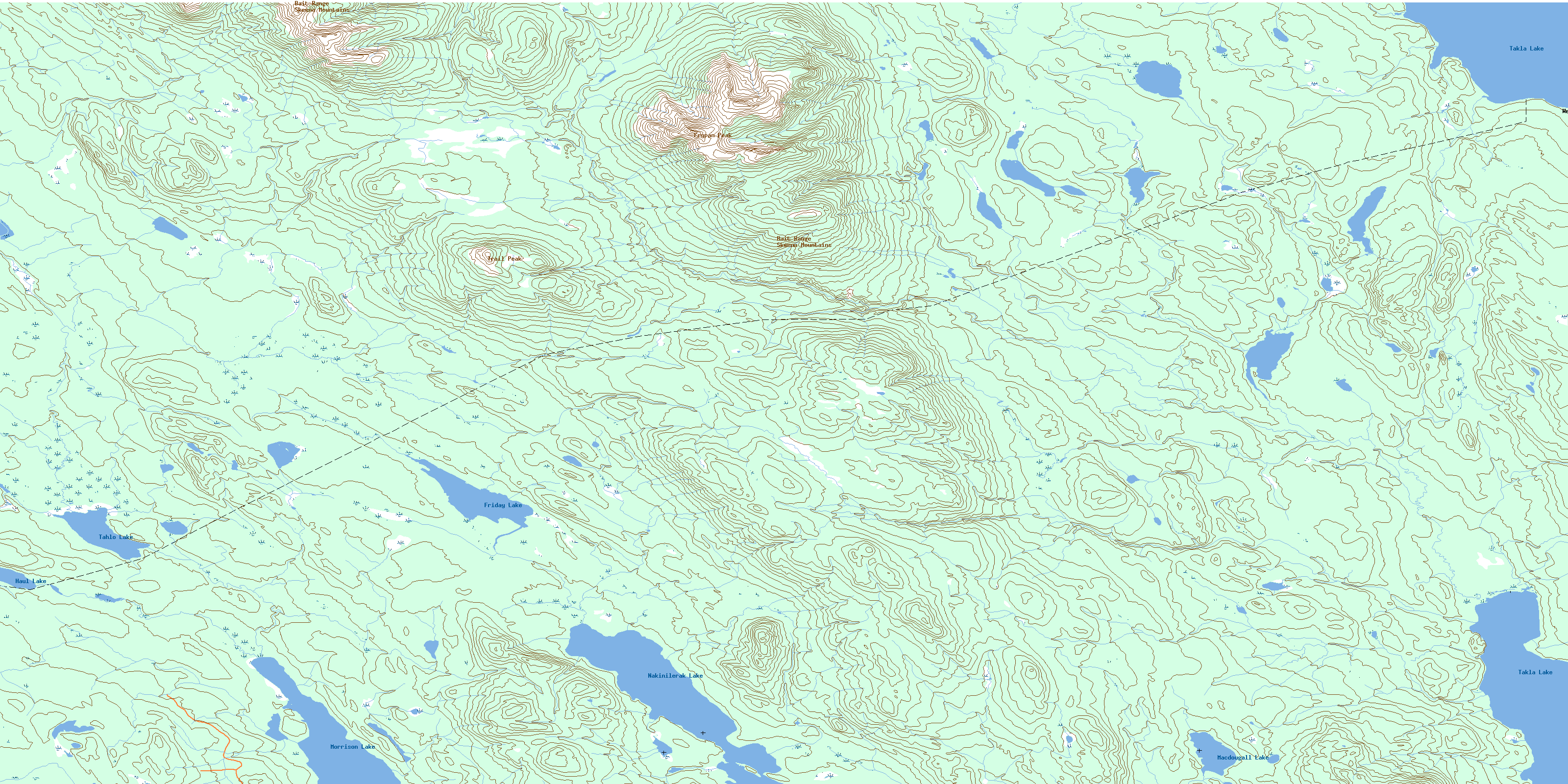
© Department of Natural Resources Canada. All rights reserved.
093M Related Maps:
093M Hazelton093M01 Old Fort Mountain
093M02 Harold Price Creek
093M03 Moricetown
093M04 Skeena Crossing
093M05 Hazelton
093M06 Suskwa River
093M07 Netalzul Mountain
093M08 Nakinilerak Lake
093M09 Bulkley House
093M10 Nilkitkwa River
093M11 Gunanoot Lake
093M12 Cutoff Mountain
093M13 Shedin Creek
093M14 Shelagyote Peak
093M15 Kotsine River
093M16 Lion Creek
