Humphrey Lake Topo Map Online
Download Free Topo Map Sheet 093N12 at 1:50,000 scale
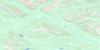
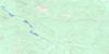
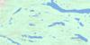
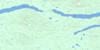
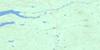
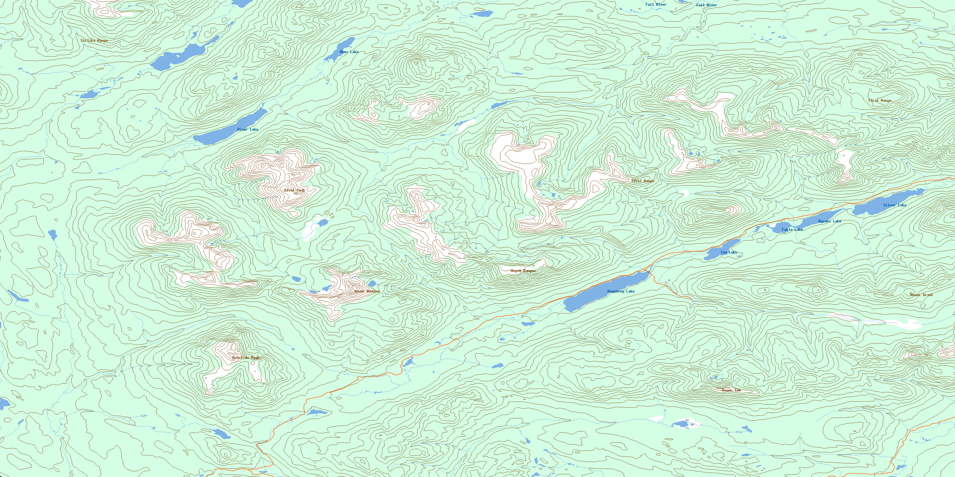
093N12 Humphrey Lake Topo Map
To view this map, mouse over the map preview on the right.
You can also download this topo map for free:
093N12 Humphrey Lake high-resolution topo map image.
Maps for the Humphrey Lake topo map sheet 093N12 at 1:50,000 scale are also available in these versions:
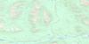
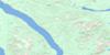
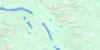
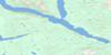
Humphrey Lake Surrounding Area Topo Maps
 |
 |
 |
 |
 |
 |
 |
 |
 |
 |
 |
 |
 |
 |
 |
 |
© Department of Natural Resources Canada. All rights reserved.
Humphrey Lake Gazetteer
The following places can be found on topographic map sheet 093N12 Humphrey Lake:
Humphrey Lake Topo Map: Lakes
Akus LakeBeaverpond Lakes
Byrnes Lake
Diver Lake
Fable Lake
Humphrey Lake
Silver Lake
Tom Lake
Humphrey Lake Topo Map: Mountains
Diver PeakHogem Ranges
Mount Bodine
Mount Grant
Mount Tom
Omineca Mountains
Red Slide Peak
Redslide Peak
Sitlika Range
Vital Mountains
Vital Range
Humphrey Lake Topo Map: Major municipal/district area - major agglomerations
Regional District of Bulkley-NechakoHumphrey Lake Topo Map: Plains
Nechako PlateauHumphrey Lake Topo Map: Rivers
Alice CreekBeaverpond Creek
Fall River
Harrison Creek
Hudson Bay Creek
Humphrey Creek
Kelly Creek
Kenny Creek
Quartzite Creek
Teegee Creek
Tom Creek
West Kwanika Creek
Humphrey Lake Topo Map: Valleys
Gem PassHogem Pass
Lyons Gulch
© Department of Natural Resources Canada. All rights reserved.
093N Related Maps:
093N Manson River093N01 Wittsichica Creek
093N02 Chuchi Lake
093N03 Takatoot Lake
093N04 Sakeniche River
093N05 Takla Landing
093N06 Indata Lake
093N07 Klawli Lake
093N08 Sylvester Creek
093N09 Manson Lakes
093N10 Germansen Lake
093N11 Kwanika Creek
093N12 Humphrey Lake
093N13 Ogden Creek
093N14 Discovery Creek
093N15 Germansen Landing
093N16 Moscovite Lakes
