Morfee Lakes Topo Map Online
Download Free Topo Map Sheet 093O06 at 1:50,000 scale
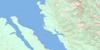
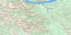
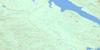
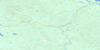
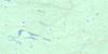
093O06 Morfee Lakes Topo Map
To view this map, mouse over the map preview on the right.
You can also download this topo map for free:
093O06 Morfee Lakes high-resolution topo map image.
Maps for the Morfee Lakes topo map sheet 093O06 at 1:50,000 scale are also available in these versions:
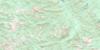
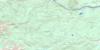
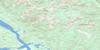
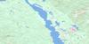
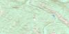
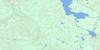
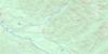
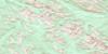
Morfee Lakes Surrounding Area Topo Maps
 |
 |
 |
 |
 |
 |
 |
 |
 |
 |
 |
 |
 |
 |
 |
 |
© Department of Natural Resources Canada. All rights reserved.
Morfee Lakes Gazetteer
The following places can be found on topographic map sheet 093O06 Morfee Lakes:
Morfee Lakes Topo Map: Bays
Nation ArmTutu Bay
Morfee Lakes Topo Map: Capes
Heather PointMorfee Lakes Topo Map: District municipality
MackenzieMorfee Lakes Topo Map: Indian Reserves
Réserve indienne Tutu Creek 4Tutu Creek Indian Reserve 4
Morfee Lakes Topo Map: Lakes
Gantahaz LakeHeather Lake
Lions Lake
Lost Lake
Morfee Lakes
Tom and Eunice Lakes
Tsedeitla Lake
Tutu Lake
Williston Lake
Morfee Lakes Topo Map: Mountains
Hart RangesMisinchinka Ranges
Montagnes Rocheuses
Mount Morfee
Rocky Mountains
Morfee Lakes Topo Map: Major municipal/district area - major agglomerations
Peace River Regional DistrictRegional District of Fraser-Fort George
Morfee Lakes Topo Map: Plains
Interior PlateauNechako Plateau
Morfee Lakes Topo Map: Rivers
Chichouyenily CreekDastaiga Creek
Gagnon Creek
Gataiga Creek
Morfee Creek
Mugaha Creek
Tony Creek
Tsedeka Creek
Tutu Creek
Morfee Lakes Topo Map: River features
Parsnip ReachMorfee Lakes Topo Map: Valleys
Rocky Mountain Trench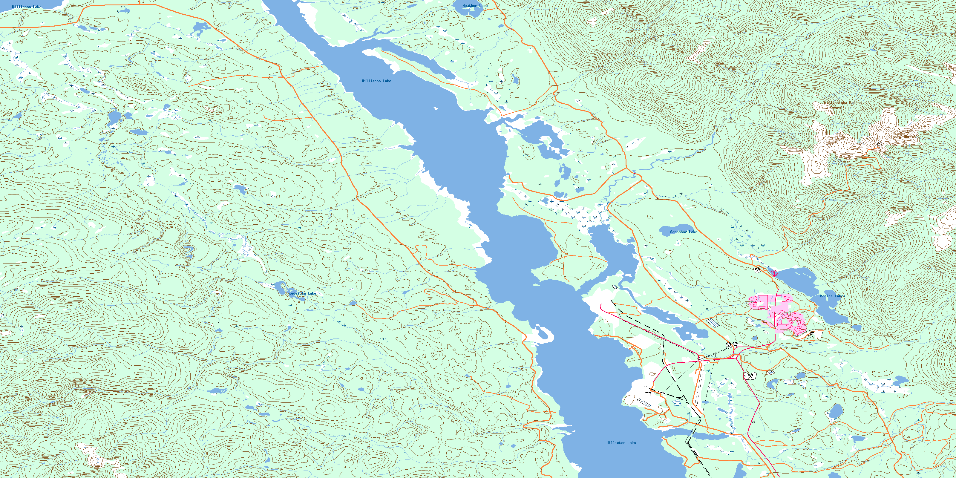
© Department of Natural Resources Canada. All rights reserved.
093O Related Maps:
093O Pine Pass093O01 Mount Reynolds
093O02 Colbourne Creek
093O03 Tudyah Lake
093O04 Philip Lakes
093O05 Philip Creek
093O06 Morfee Lakes
093O07 Azouzetta Lake
093O08 Le Moray Creek
093O09 Mount Hulcross
093O10 Callazon Creek
093O11 Cut Thumb Creek
093O12 Blackwater Creek
093O13 Mount Selwyn
093O14 Point Creek
093O15 Carbon Creek
093O16 Portage Mountain
