Sifton Pass Topo Map Online
Download Free Topo Map Sheet 094E16 at 1:50,000 scale
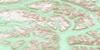
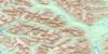
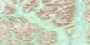
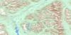
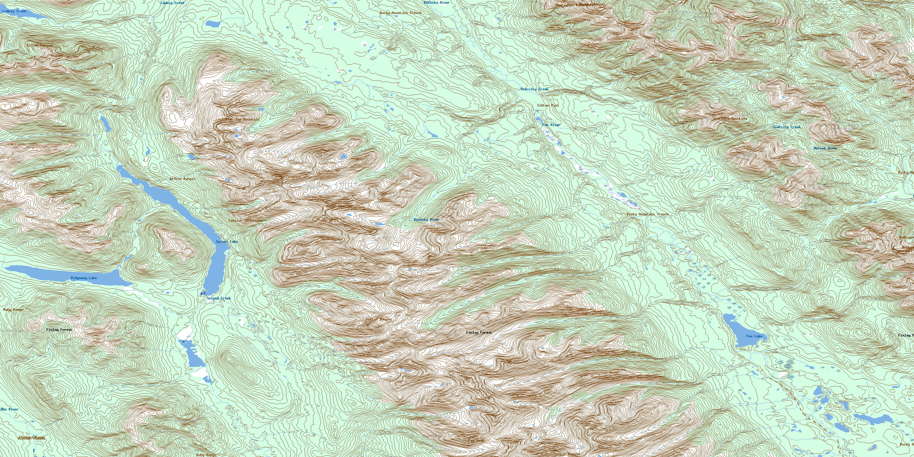
094E16 Sifton Pass Topo Map
To view this map, mouse over the map preview on the right.
You can also download this topo map for free:
094E16 Sifton Pass high-resolution topo map image.
Maps for the Sifton Pass topo map sheet 094E16 at 1:50,000 scale are also available in these versions:
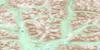
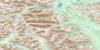
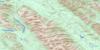
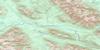
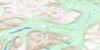
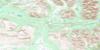
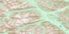
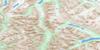
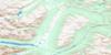
Sifton Pass Surrounding Area Topo Maps
 |
 |
 |
 |
 |
 |
 |
 |
 |
 |
 |
 |
 |
 |
 |
 |
© Department of Natural Resources Canada. All rights reserved.
Sifton Pass Gazetteer
The following places can be found on topographic map sheet 094E16 Sifton Pass:
Sifton Pass Topo Map: Geographical areas
Cassiar Land DistrictSifton Pass Topo Map: Lakes
Fox LakeRidgeway Lake
Spinel Lake
Sifton Pass Topo Map: Mountains
Cassiar MountainsFlat Top Mountain
Fox Peak
Gataga Ranges
Montagnes Rocheuses
Mount Slocomb
Muskwa Ranges
Rocky Mountains
Ruby Range
Scarcity Mountain
Sifton Ranges
Stikine Ranges
Thudaka Range
Sifton Pass Topo Map: Major municipal/district area - major agglomerations
Peace River Regional DistrictSifton Pass Topo Map: Rivers
Driftpile CreekFox River
Kechika River
Ludwig Creek
McCook River
Obo River
Scarcity Creek
Spinel Creek
Sifton Pass Topo Map: Valleys
Rocky Mountain TrenchSifton Pass
© Department of Natural Resources Canada. All rights reserved.
094E Related Maps:
094E Toodoggone River094E01 Laforce Creek
094E02 Attycelley Creek
094E03 Sturdee River
094E04 Stalk Lakes
094E05 Laslui Lake
094E06 Moosehorn Creek
094E07 Mount Katharine
094E08 Mount Bower
094E09 Cutoff Creek
094E10 Mount Cushing
094E11 Moosehorn Lake
094E12 Spruce Hill
094E13 No Title
094E14 No Title
094E15 Thudaka Peak
094E16 Sifton Pass
