Haworth Lake Topo Map Online
Download Free Topo Map Sheet 094F14 at 1:50,000 scale
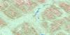
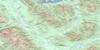
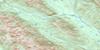
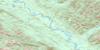
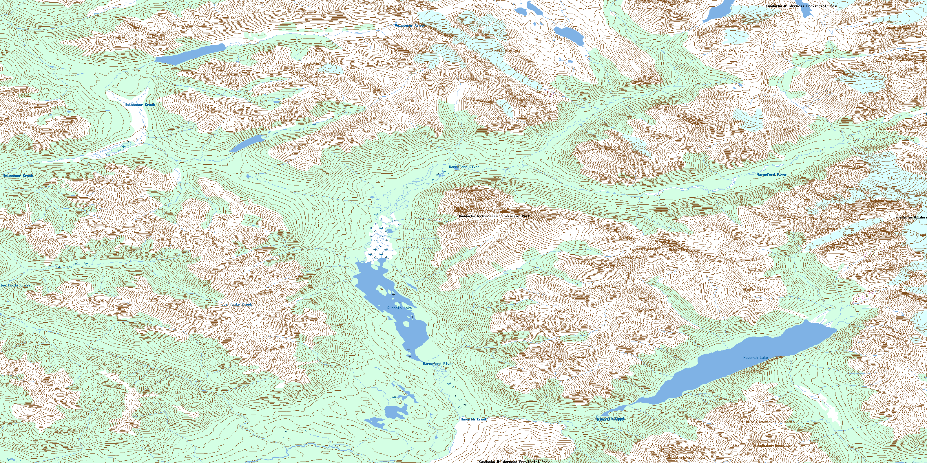
094F14 Haworth Lake Topo Map
To view this map, mouse over the map preview on the right.
You can also download this topo map for free:
094F14 Haworth Lake high-resolution topo map image.
Maps for the Haworth Lake topo map sheet 094F14 at 1:50,000 scale are also available in these versions:
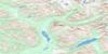
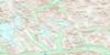
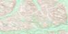
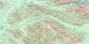
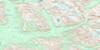
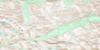
Haworth Lake Surrounding Area Topo Maps
 |
 |
 |
 |
 |
 |
 |
 |
 |
 |
 |
 |
 |
 |
 |
 |
© Department of Natural Resources Canada. All rights reserved.
Haworth Lake Gazetteer
The following places can be found on topographic map sheet 094F14 Haworth Lake:
Haworth Lake Topo Map: Falls
Haworth FallsHaworth Lake Topo Map: Geographical areas
Cassiar Land DistrictHaworth Lake Topo Map: Glaciers
Llanberis GlacierLloyd George Icefield
McConnell Glacier
Stagnant Glacier
Haworth Lake Topo Map: Lakes
Chesterfield LakeHaworth Lake
Quentin Lake
Haworth Lake Topo Map: Mountains
Cloudmaker MountainColumbine Peak
Dryas Peak
Grey Peak
Little Cloudmaker Mountain
Lupin Ridge
Montagnes Rocheuses
Mount Chesterfield
Mount Glendower
Mount Lloyd George
Muskwa Ranges
Rocky Mountains
Survey Peak
Haworth Lake Topo Map: Major municipal/district area - major agglomerations
Peace River Regional DistrictHaworth Lake Topo Map: Conservation areas
Kwadacha Wilderness ParkHaworth Lake Topo Map: Rivers
Chesterfield CreekHaworth Creek
Joe Poole Creek
Joepoole Creek
Warneford River
Weissener Creek
© Department of Natural Resources Canada. All rights reserved.
094F Related Maps:
094F Ware094F01 No Title
094F02 No Title
094F03 Truncate Creek
094F04 Mount Russel
094F05 Ware
094F06 Paul River
094F07 No Title
094F08 Cyclops Peak
094F09 Mount Justin
094F10 Ipec Lake
094F11 Mount Alcock
094F12 Mount Chief Davie
094F13 Mount Mccook
094F14 Haworth Lake
094F15 Mount Lloyd George
094F16 No Title
