Mcgern Island Topo Map Online
Download Free Topo Map Sheet 095J11 at 1:50,000 scale
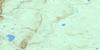
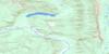
095J11 Mcgern Island Topo Map
To view this map, mouse over the map preview on the right.
You can also download this topo map for free:
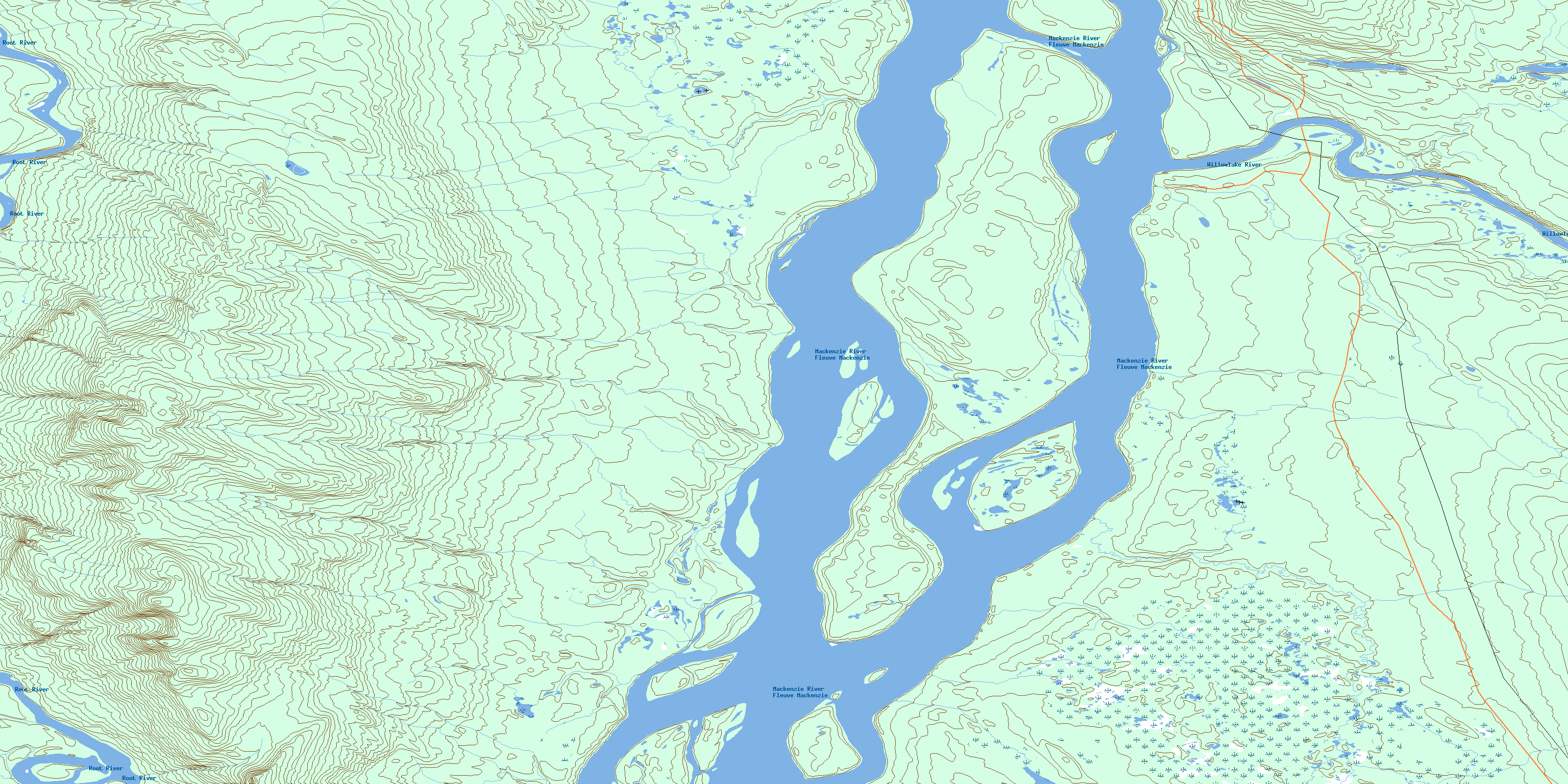
095J11 Mcgern Island high-resolution topo map image.
Maps for the Mcgern Island topo map sheet 095J11 at 1:50,000 scale are also available in these versions:
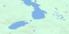
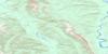
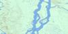
Mcgern Island Surrounding Area Topo Maps
 |
 |
 |
 |
 |
 |
 |
 |
 |
 |
 |
 |
 |
 |
 |
 |
© Department of Natural Resources Canada. All rights reserved.
Mcgern Island Gazetteer
The following places can be found on topographic map sheet 095J11 Mcgern Island:
Mcgern Island Topo Map: Islands
Berry IslandMcGern Island
Mcgern Island Topo Map: Mountains
Bell RidgeMcgern Island Topo Map: Rivers
Fleuve MackenzieMackenzie River
Root River
Willowlake River
© Department of Natural Resources Canada. All rights reserved.
095J Related Maps:
095J Camsell Bend095J01 Trail River
095J02 No Title
095J03 Nahanni Mountain
095J04 Battlement Creek
095J05 Deceiver Creek
095J06 Camsell Bend
095J07 No Title
095J08 Ebbutt Hills
095J09 Gun Rapids
095J10 No Title
095J11 Mcgern Island
095J12 Paynaychee Mountain
095J13 No Title
095J14 River Between Two Mountains
095J15 Peekaya Lake
095J16 Greasy Lake
