Notseglee Lake Topo Map Online
Download Free Topo Map Sheet 095O15 at 1:50,000 scale
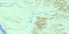
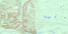
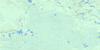
095O15 Notseglee Lake Topo Map
To view this map, mouse over the map preview on the right.
You can also download this topo map for free:
095O15 Notseglee Lake high-resolution topo map image.
Maps for the Notseglee Lake topo map sheet 095O15 at 1:50,000 scale are also available in these versions:
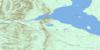
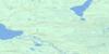
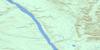
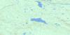
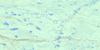
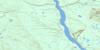
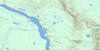
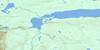
Notseglee Lake Surrounding Area Topo Maps
 |
 |
 |
 |
 |
 |
 |
 |
 |
 |
 |
 |
 |
 |
 |
 |
© Department of Natural Resources Canada. All rights reserved.
Notseglee Lake Gazetteer
The following places can be found on topographic map sheet 095O15 Notseglee Lake:
Notseglee Lake Topo Map: Lakes
Blackwater LakeNotseglee Lake
Notseglee Lake Topo Map: Mountains
Franklin MountainsNotseglee Lake Topo Map: Rivers
Blackwater River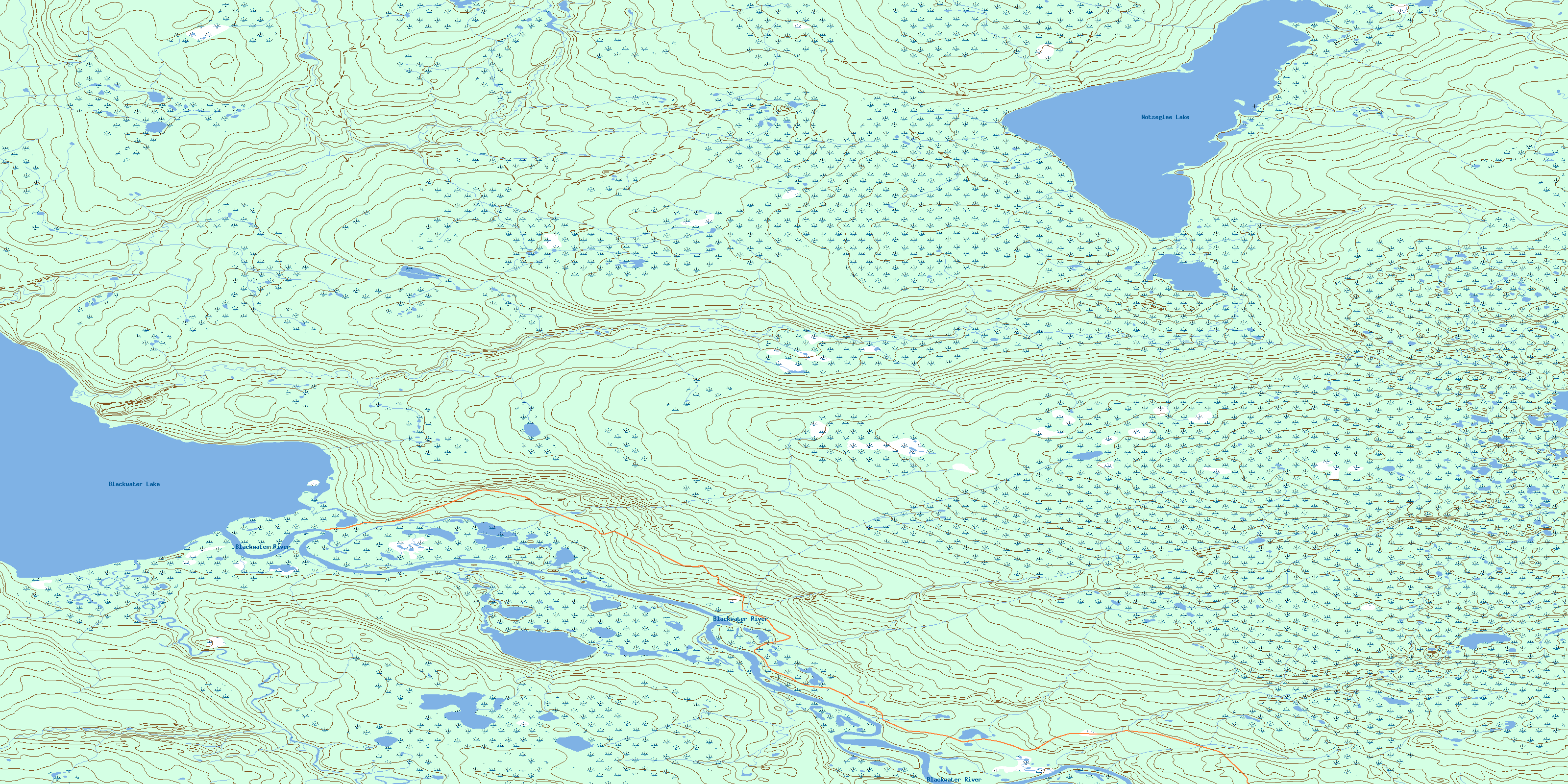
© Department of Natural Resources Canada. All rights reserved.
095O Related Maps:
095O Wrigley095O01 No Title
095O02 Paeenfee Lake
095O03 Smith Creek
095O04 Wrigley River
095O05 Mount Gaudet
095O06 Mount Kindle
095O07 No Title
095O08 No Title
095O09 No Title
095O10 Nothaykay Lake
095O11 Table Mountain
095O12 Johnson River
095O13 Blackwater River
095O14 Blackwater Lake
095O15 Notseglee Lake
095O16 No Title
