Nainlin Brook Topo Map Online
Download Free Topo Map Sheet 096D03 at 1:50,000 scale
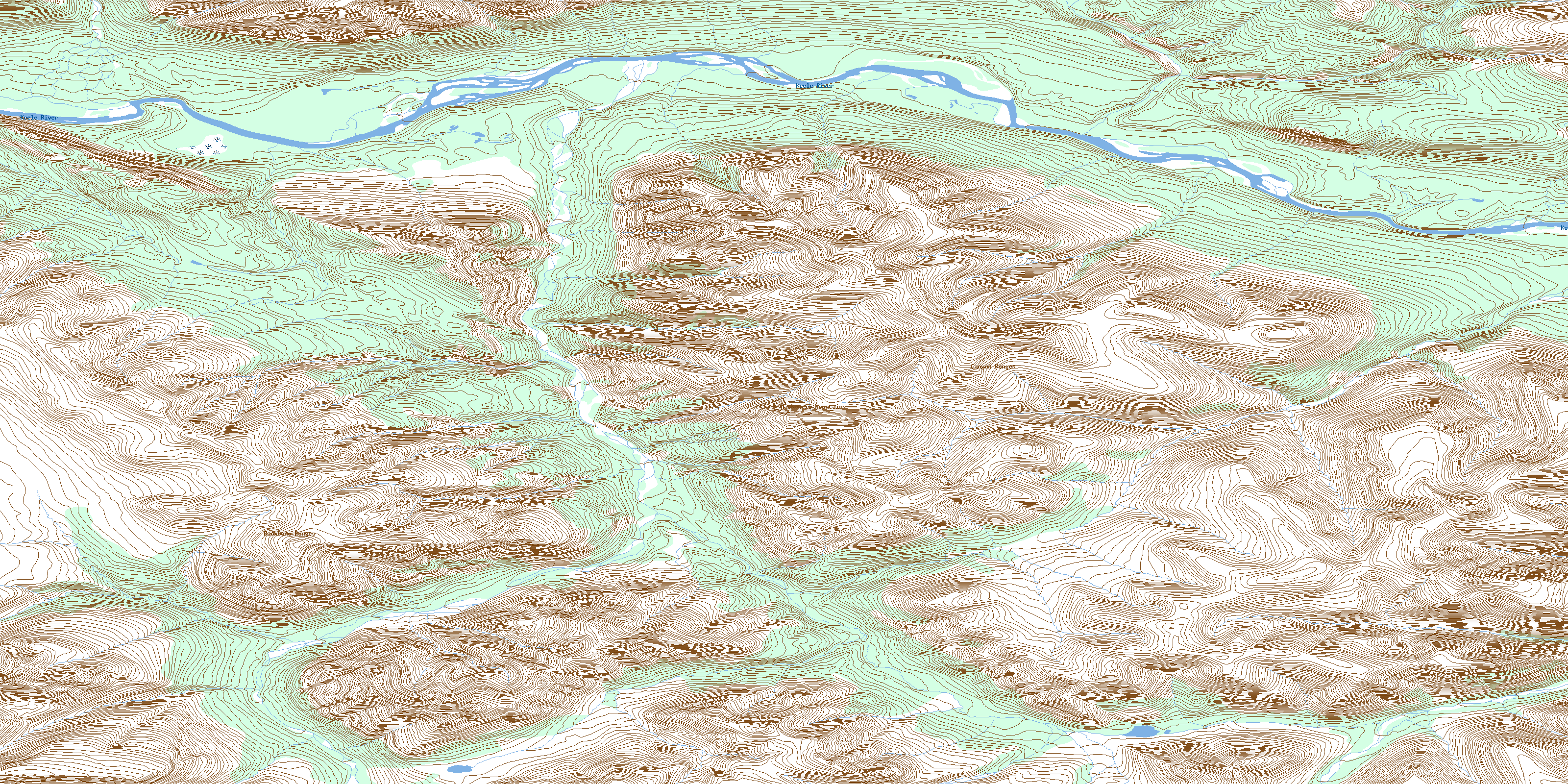
096D03 Nainlin Brook Topo Map
To view this map, mouse over the map preview on the right.
You can also download this topo map for free:
096D03 Nainlin Brook high-resolution topo map image.
Maps for the Nainlin Brook topo map sheet 096D03 at 1:50,000 scale are also available in these versions:
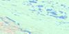
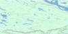
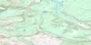
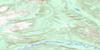
Nainlin Brook Surrounding Area Topo Maps
 |
 |
 |
 |
 |
 |
 |
 |
 |
 |
 |
 |
 |
 |
 |
 |
© Department of Natural Resources Canada. All rights reserved.
Nainlin Brook Gazetteer
The following places can be found on topographic map sheet 096D03 Nainlin Brook:
Nainlin Brook Topo Map: Mountains
Backbone RangesCanyon Ranges
Mackenzie Mountains
Tigonankweine Range
Nainlin Brook Topo Map: Rivers
Keele RiverNainlin Brook
© Department of Natural Resources Canada. All rights reserved.
096D Related Maps:
096D Carcajou Canyon096D01 No Title
096D02 Toochingkla River
096D03 Nainlin Brook
096D04 No Title
096D05 Peterson Creek
096D06 No Title
096D07 No Title
096D08 No Title
096D09 Ration Creek
096D10 Rouge Mountain River
096D11 Pyramid Mountain
096D12 Mcdermott Creek
096D13 No Title
096D14 Dodo Mountain
096D15 Mirror Lake
096D16 Slater River
