Crosswise Island Topo Map Online
Download Free Topo Map Sheet 096K02 at 1:50,000 scale
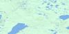
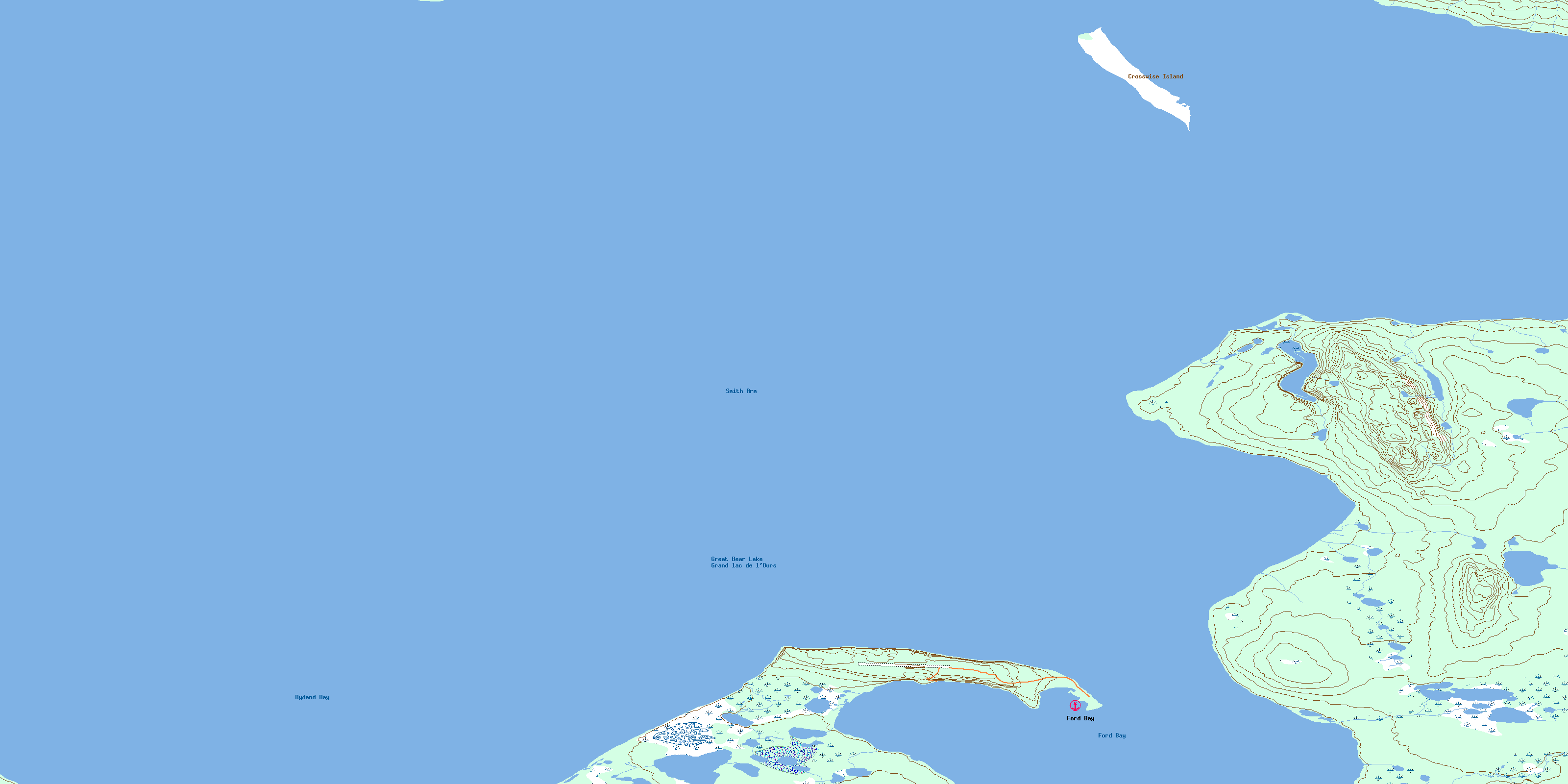
096K02 Crosswise Island Topo Map
To view this map, mouse over the map preview on the right.
You can also download this topo map for free:
096K02 Crosswise Island high-resolution topo map image.
Maps for the Crosswise Island topo map sheet 096K02 at 1:50,000 scale are also available in these versions:
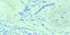
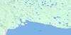
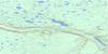
Crosswise Island Surrounding Area Topo Maps
 |
 |
 |
 |
 |
 |
 |
 |
 |
 |
 |
 |
 |
 |
 |
 |
© Department of Natural Resources Canada. All rights reserved.
Crosswise Island Gazetteer
The following places can be found on topographic map sheet 096K02 Crosswise Island:
Crosswise Island Topo Map: Bays
Bydand BayFord Bay
Smith Arm
Crosswise Island Topo Map: Islands
Crosswise IslandCrosswise Island Topo Map: Lakes
Grand lac de l'OursGreat Bear Lake
© Department of Natural Resources Canada. All rights reserved.
