Cracroft Bay Topo Map Online
Download Free Topo Map Sheet 097C15 at 1:50,000 scale
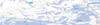
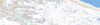
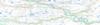
097C15 Cracroft Bay Topo Map
To view this map, mouse over the map preview on the right.
You can also download this topo map for free:
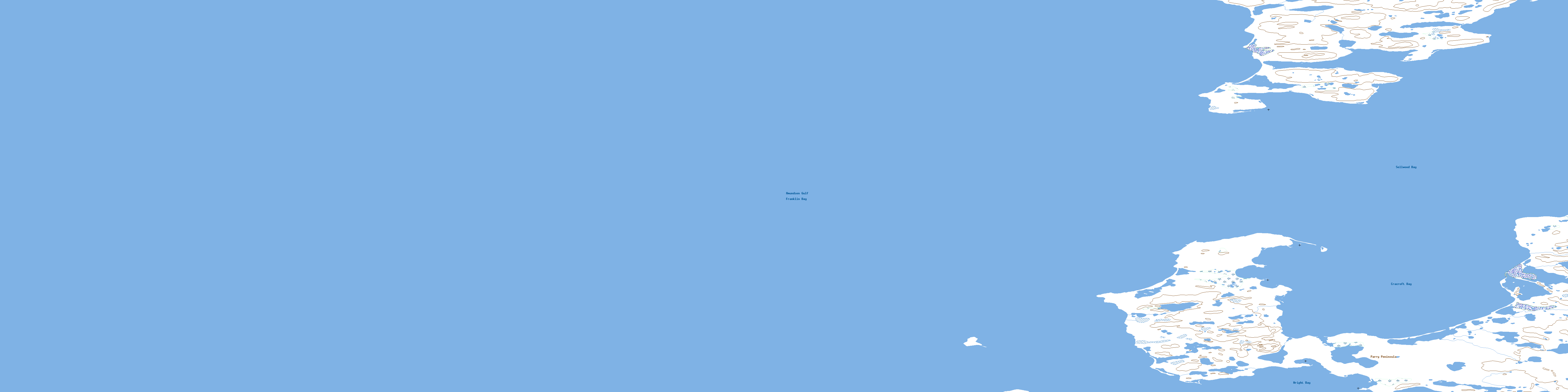
097C15 Cracroft Bay high-resolution topo map image.
Maps for the Cracroft Bay topo map sheet 097C15 at 1:50,000 scale are also available in these versions:
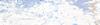
Cracroft Bay Surrounding Area Topo Maps
 |
 |
 |
 |
 |
 |
 |
 |
 |
 |
 |
 |
 |
 |
 |
 |
© Department of Natural Resources Canada. All rights reserved.
Cracroft Bay Gazetteer
The following places can be found on topographic map sheet 097C15 Cracroft Bay:
Cracroft Bay Topo Map: Bays
Amundsen GulfCracroft Bay
Franklin Bay
Sellwood Bay
Wright Bay
Cracroft Bay Topo Map: Capes
Parry PeninsulaCracroft Bay Topo Map: Territory
Northwest TerritoriesTerritoires du Nord-Ouest
© Department of Natural Resources Canada. All rights reserved.
097C Related Maps:
097C Franklin Bay097C01 Biname Lake
097C02 No Title
097C03 No Title
097C04 No Title
097C05 No Title
097C06 Coal Creek
097C07 Langton Bay
097C08 Paulatuk
097C09 Bennett Point
097C10 Point Stivens
097C11 No Title
097C12 No Title
097C13 Mackenzie Lake
097C14W Old Horton Creek
097C15 Cracroft Bay
097C16 Letty Harbour
