Meziadin Lake Topo Map Online
Download Free Topo Map Sheet 104A03 at 1:50,000 scale
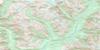
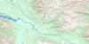
104A03 Meziadin Lake Topo Map
To view this map, mouse over the map preview on the right.
You can also download this topo map for free:
104A03 Meziadin Lake high-resolution topo map image.
Maps for the Meziadin Lake topo map sheet 104A03 at 1:50,000 scale are also available in these versions:
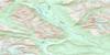
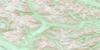
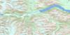
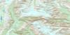
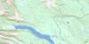
Meziadin Lake Surrounding Area Topo Maps
 |
|||
 |
 |
||
 |
 |
||
 |
 |
© Department of Natural Resources Canada. All rights reserved.
Meziadin Lake Gazetteer
The following places can be found on topographic map sheet 104A03 Meziadin Lake:
Meziadin Lake Topo Map: Lakes
Broken Leg LakeMeziadin Lake
Yaakin Lake
Meziadin Lake Topo Map: Mountains
Boundary RangesCambria Range
Coast Mountains
Hanna Ridge
Mount Bell-Irving
Meziadin Lake Topo Map: Major municipal/district area - major agglomerations
Regional District of Kitimat-StikineMeziadin Lake Topo Map: Conservation areas
Meziadin Lake ParkMeziadin Lake Topo Map: Rivers
Bell-Irving RiverCleft Creek
Crook Creek
Divi Creek
Glace Creek
Gleason Creek
Goldsmith Creek
Hanna Creek
Hanna River
Madely Creek
Meziadin River
Nass River
Nelson Creek
Strohn Creek
Surprise Creek
Tintina Creek
Meziadin Lake Topo Map: Unincorporated areas
Meziadin Junction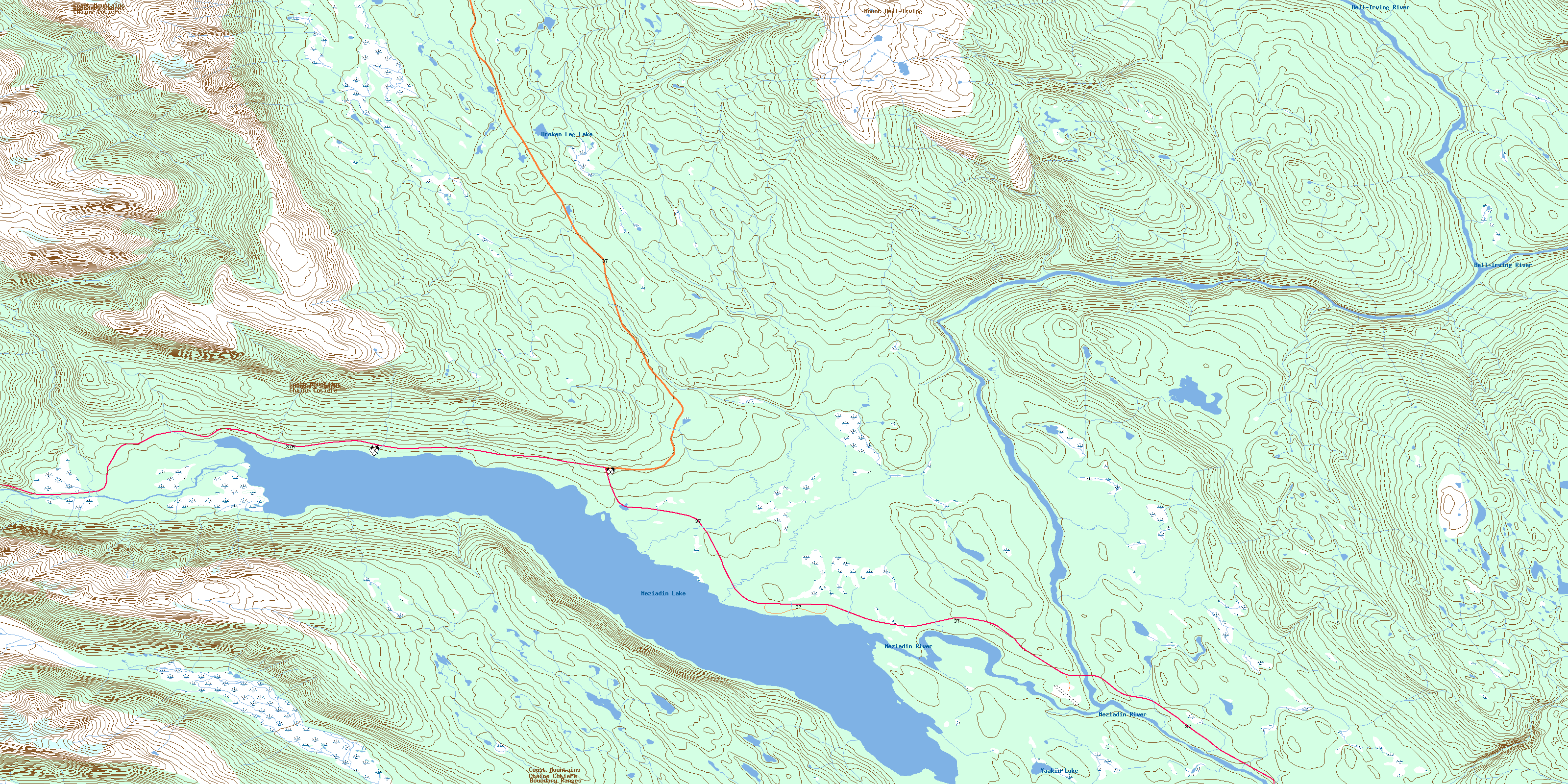
© Department of Natural Resources Canada. All rights reserved.
104A Related Maps:
104A Bowser Lake104A01 Sallysout Creek
104A02 Kwinageese River
104A03 Meziadin Lake
104A04 Bear River
104A05 Bowser Lake
104A06E Bell-Irving River
104A06W Bell-Irving River
104A07 Taylor River
104A08 Blackwater Peak
104A09E Damdochax Lake
104A09W Damdochax Lake
104A10 Muskaboo Creek
104A11 Taft Creek
104A12 Delta Peak
104A13 Mount Alger
104A14 Konigus Creek
104A15 Mount Beirnes
104A16 Mcevoy Flats
