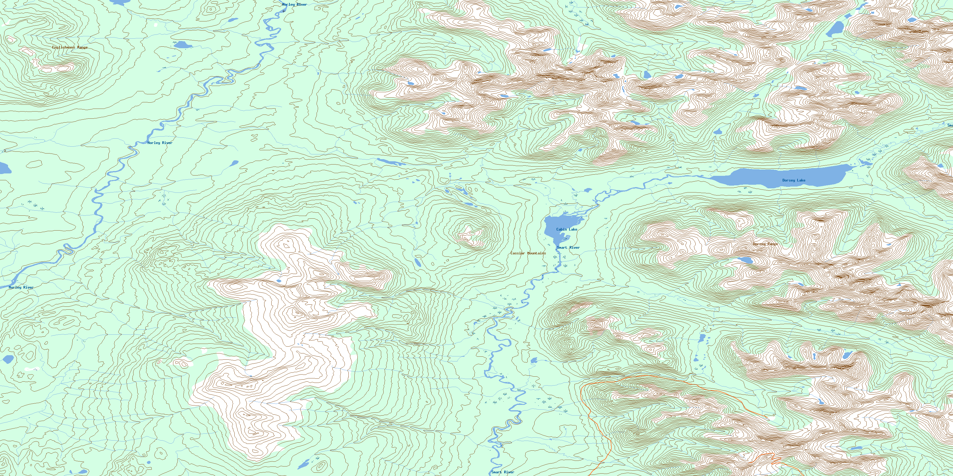
Dorsey Lake Topo Map Online
Download Free Topo Map Sheet 105B04 at 1:50,000 scale
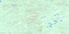
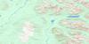
105B04 Dorsey Lake Topo Map
To view this map, mouse over the map preview on the right.
You can also download this topo map for free:
105B04 Dorsey Lake high-resolution topo map image.
Maps for the Dorsey Lake topo map sheet 105B04 at 1:50,000 scale are also available in these versions:
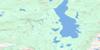
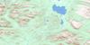
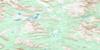
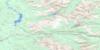
Dorsey Lake Surrounding Area Topo Maps
 |
 |
 |
 |
 |
 |
 |
 |
 |
 |
 |
 |
 |
 |
 |
 |
© Department of Natural Resources Canada. All rights reserved.
Dorsey Lake Gazetteer
The following places can be found on topographic map sheet 105B04 Dorsey Lake:
Dorsey Lake Topo Map: Lakes
Cabin LakeDorsey Lake
Dorsey Lake Topo Map: Mountains
Cassiar MountainsDorsey Range
Englishmans Range
Hazel Ridge
Dorsey Lake Topo Map: Rivers
AMP CreekHazel Creek
Logjam Creek
Morley River
Smart River
Two Ladder Creek
West Logjam Creek
© Department of Natural Resources Canada. All rights reserved.
105B Related Maps:
105B Wolf Lake105B01 Spencer Creek
105B02 Daughney Lake
105B03 Seagull Creek
105B04 Dorsey Lake
105B05 Morris Lake
105B06 Ice Lakes
105B07 Sab Lake
105B08 Meister Lake
105B09 Allan Creek
105B10 Gravel Creek
105B11 Irvine Lake
105B12 Peters Lake
105B13 Caribou Lakes
105B14 Scurvy Lakes
105B15 Scurvy Creek
105B16 Black River
