Hundred Mile Creek Topo Map Online
Download Free Topo Map Sheet 105F02 at 1:50,000 scale
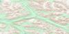
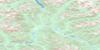
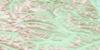
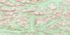
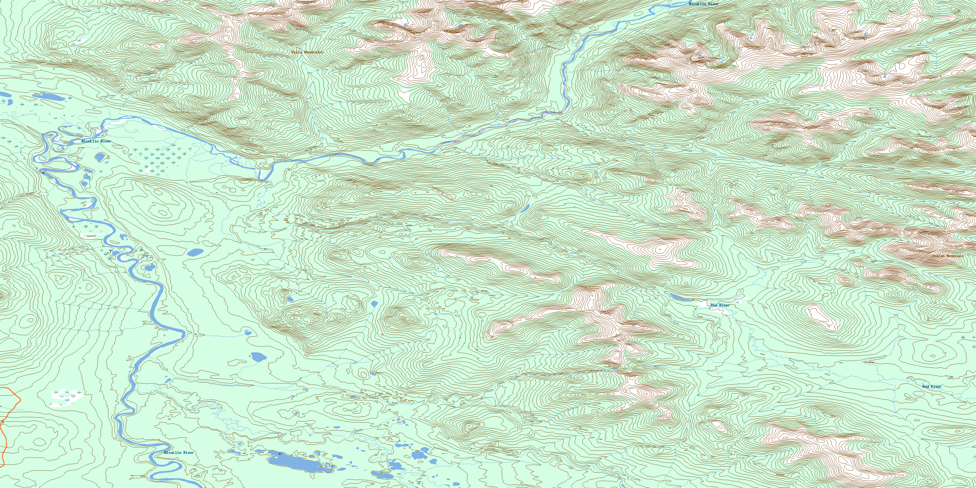
105F02 Hundred Mile Creek Topo Map
To view this map, mouse over the map preview on the right.
You can also download this topo map for free:
105F02 Hundred Mile Creek high-resolution topo map image.
Maps for the Hundred Mile Creek topo map sheet 105F02 at 1:50,000 scale are also available in these versions:
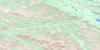
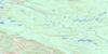
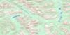
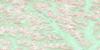
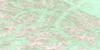
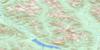
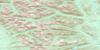
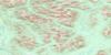
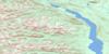
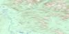
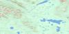
Hundred Mile Creek Surrounding Area Topo Maps
 |
 |
 |
 |
 |
 |
 |
 |
 |
 |
 |
 |
 |
 |
 |
 |
© Department of Natural Resources Canada. All rights reserved.
Hundred Mile Creek Gazetteer
The following places can be found on topographic map sheet 105F02 Hundred Mile Creek:
Hundred Mile Creek Topo Map: Mountains
Indian MountainPelly Mountains
S'àxh Yánde {1}ishùwu Yé
Hundred Mile Creek Topo Map: Plains
Yukon PlateauHundred Mile Creek Topo Map: Rivers
Hendersons CreekHundred Mile Creek
Na{2}asìn River
Red River
Rose River
S'âxh' Kahâgu
Wolf Creek
Hundred Mile Creek Topo Map: Miscellaneous sites
{3}{17}t Kux{4} At YéK'a{2}gwách {7}èwú Ìti
© Department of Natural Resources Canada. All rights reserved.
105F Related Maps:
105F Quiet Lake105F01 Nisutlin Lake
105F02 Hundred Mile Creek
105F03 Crater Creek
105F04 Falls Creek
105F05 No Title
105F06 Mount St Cyr
105F07 Sleep Creek
105F08 Mount Hogg
105F09 Cloutier Creek
105F10 Pass Creek
105F11 Pony Creek
105F12 Souch Creek
105F13 Thomas Creek
105F14 Fox Creek
105F15 Ram Creek
105F16 Ross River
