Ortell Lake Topo Map Online
Download Free Topo Map Sheet 106C02 at 1:50,000 scale
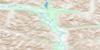
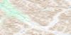
106C02 Ortell Lake Topo Map
To view this map, mouse over the map preview on the right.
You can also download this topo map for free:
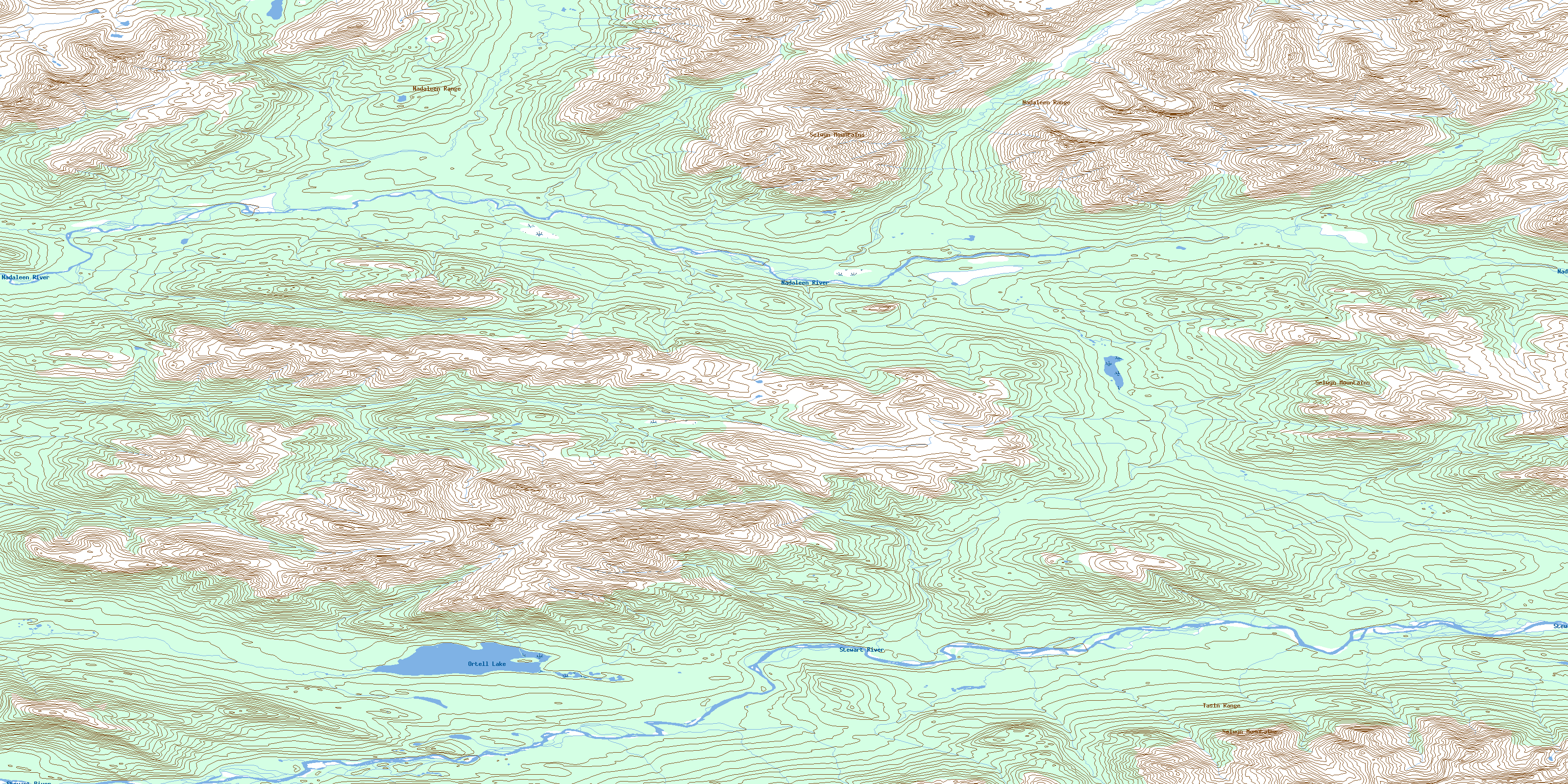
106C02 Ortell Lake high-resolution topo map image.
Maps for the Ortell Lake topo map sheet 106C02 at 1:50,000 scale are also available in these versions:
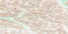
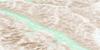
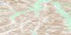
Ortell Lake Surrounding Area Topo Maps
 |
 |
 |
 |
 |
 |
 |
 |
 |
 |
 |
 |
 |
 |
 |
 |
© Department of Natural Resources Canada. All rights reserved.
Ortell Lake Gazetteer
The following places can be found on topographic map sheet 106C02 Ortell Lake:
Ortell Lake Topo Map: Lakes
Ortell LakeOrtell Lake Topo Map: Mountains
Nadaleen RangeSelwyn Mountains
Tasin Mountains
Tasin Range
Ortell Lake Topo Map: Plains
Stewart PlateauYukon Plateau
Ortell Lake Topo Map: Rivers
Nadaleen RiverStewart River
© Department of Natural Resources Canada. All rights reserved.
106C Related Maps:
106C Nadaleen River106C01 Mount Stenbraten
106C02 Ortell Lake
106C03 No Title
106C04 No Title
106C05 Rusty Mountain
106C06 Bonnet Plume Pass
106C07 Goz Creek
106C08 Duo Creek
106C09 Reptile Creek
106C10 No Title
106C11 Corn Creek
106C12 Gillespie Creek
106C13 Fairchild Lake
106C14 No Title
106C15 No Title
106C16 No Title
