Nuvorak Point Topo Map Online
Download Free Topo Map Sheet 107E03 at 1:50,000 scale
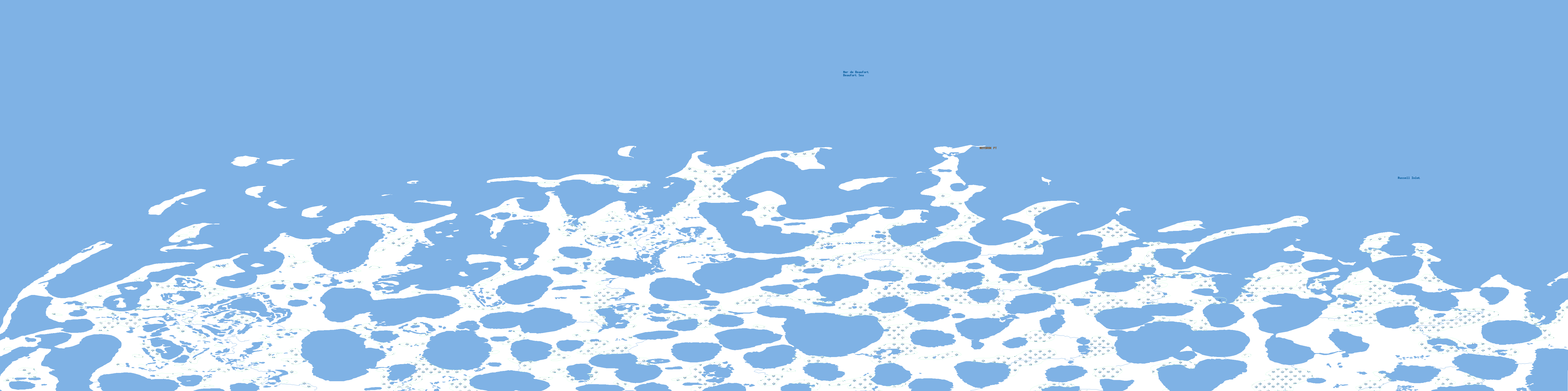
107E03 Nuvorak Point Topo Map
To view this map, mouse over the map preview on the right.
You can also download this topo map for free:
107E03 Nuvorak Point high-resolution topo map image.
Maps for the Nuvorak Point topo map sheet 107E03 at 1:50,000 scale are also available in these versions:
Nuvorak Point Surrounding Area Topo Maps
 |
|||
 |
|||
 |
 |
 |
© Department of Natural Resources Canada. All rights reserved.
Nuvorak Point Gazetteer
The following places can be found on topographic map sheet 107E03 Nuvorak Point:
Nuvorak Point Topo Map: Bays
Russell InletSeal Bay
Nuvorak Point Topo Map: Capes
Nuvorak PointTuktoyaktuk Peninsula
Nuvorak Point Topo Map: Islands
Phillips IslandRelief Islet
Nuvorak Point Topo Map: Lakes
Kidney LakeNuvorak Point Topo Map: Seas
Beaufort SeaMer de Beaufort
Nuvorak Point Topo Map: Shoals
Crescent BankNuvorak Point Topo Map: Territory
Northwest TerritoriesTerritoires du Nord-Ouest
© Department of Natural Resources Canada. All rights reserved.
