Maps showing Rivière Bersimis, Betsiamites; Manicouagan, Quebec
Rivière Bersimis is a River located in Betsiamites; Manicouagan, Quebec.
- Latitude: 48° 55' 30'' North (decimal: 48.9250407)
- Longitude: 68° 36' 28'' West (decimal: -68.6078183)
- Topography Feature Category: River
- Geographical Feature: Rivière
- Canadian Province/Territory: Quebec
- Location: Betsiamites; Manicouagan
- GPS Coordinate Locator Map: Rivière Bersimis Lat/Long
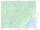
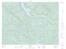
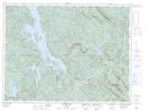
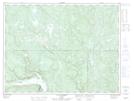
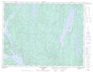
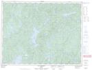
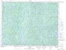
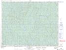
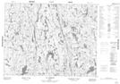
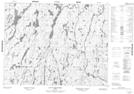
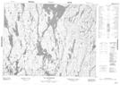
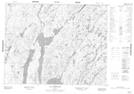
Rivière Bersimis NTS Map Sheets
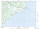
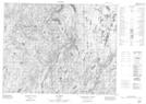
022C15 Betsiamites Topographic Map at 1:50,000 scale
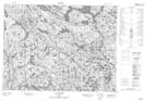
022E08 Lac Riverin Topographic Map at 1:50,000 scale
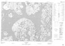
022E09 Lac Gouin Topographic Map at 1:50,000 scale
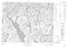
022E16 Riviere La Tourette Topographic Map at 1:50,000 scale
022F02 Lac Nipi Topographic Map at 1:50,000 scale
022F03 Lac Lessard Topographic Map at 1:50,000 scale
022F05 Labrieville Topographic Map at 1:50,000 scale
022F06 Lac Le Barbier Topographic Map at 1:50,000 scale
022F12 Lac Au Brochet Topographic Map at 1:50,000 scale
022F13 Lac Dissimieux Topographic Map at 1:50,000 scale
022K04 Lac Praslin Topographic Map at 1:50,000 scale
022K05 Lac Tremaudan Topographic Map at 1:50,000 scale
022L01 Lac Gommard Topographic Map at 1:50,000 scale
022L08 Lac Du Raccourci Topographic Map at 1:50,000 scale
022L09 Lac Des Prairies Topographic Map at 1:50,000 scale
022L16 Lac Manouanis Topographic Map at 1:50,000 scale
022M01 Lac Brue Topographic Map at 1:50,000 scale
022C Rimouski Topographic Map at 1:250,000 scale
022E Reservoir Pipmuacan Topographic Map at 1:250,000 scale
022F Baie-Comeau Topographic Map at 1:250,000 scale
022K Lac Berte Topographic Map at 1:250,000 scale
022L Lac Peribonca Topographic Map at 1:250,000 scale
022M Lac Pletipi Topographic Map at 1:250,000 scale