Canada Topographic Maps

Rivière Chioac Topo Maps

Topography maps and Latitude/Longitude Location

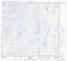
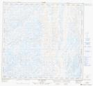
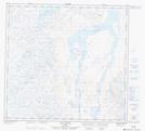
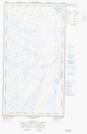
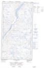
Maps showing Rivière Chioac, Tasiujaq; Kativik, Quebec

Rivière Chioac is a River located in Tasiujaq; Kativik, Quebec.

  • Latitude: 58° 41' 27'' North   (decimal: 58.6907447)
  • Longitude: 69° 55' 39'' West   (decimal: -69.9276338)
  • Topography Feature Category: River
  • Geographical Feature: Rivière
  • Canadian Province/Territory: Quebec
  • Location: Tasiujaq; Kativik
  • GPS Coordinate Locator Map: Rivière Chioac Lat/Long

Rivière Chioac NTS Map Sheets

024E16 Lac Napier Topographic Map at 1:50,000 scale

024K12 Tasiujaq Topographic Map at 1:50,000 scale

024L01 Lac Jourdan Topographic Map at 1:50,000 scale

024L08 Lac Dusay Topographic Map at 1:50,000 scale

024L09E Lac Du Canot Topographic Map at 1:50,000 scale

024L09W Lac Du Canot Topographic Map at 1:50,000 scale

024E Lac Aigneau Topographic Map at 1:250,000 scale

024K Kuujjuaq Topographic Map at 1:250,000 scale

024L Lac Dufreboy Topographic Map at 1:250,000 scale

 
Buy Topographic Maps DVD
Newsletter Sign-up

Yes, I want to receive map store discounts.


Bookmark and Share