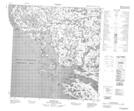
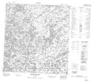
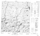
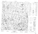
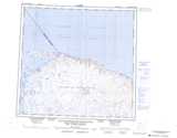
Maps showing Rivière Ivitaaqquit, Baie-d'Hudson; Kativik, Quebec
Rivière Ivitaaqquit is a River located in Baie-d'Hudson; Kativik, Quebec.
- Latitude: 61° 41' 10'' North (decimal: 61.6861363)
- Longitude: 77° 48' 21'' West (decimal: -77.8057657)
- Topography Feature Category: River
- Geographical Feature: Rivière
- Canadian Province/Territory: Quebec
- Location: Baie-d'Hudson; Kativik
- GPS Coordinate Locator Map: Rivière Ivitaaqquit Lat/Long
Rivière Ivitaaqquit NTS Map Sheets
035F12 Kovik Bay Topographic Map at 1:50,000 scale
035F13 Riviere Frichet Topographic Map at 1:50,000 scale
035K03 Dunes Pingasualuit Topographic Map at 1:50,000 scale
035K04 Lac Siurartuuq Topographic Map at 1:50,000 scale
035F Kovik Bay Topographic Map at 1:250,000 scale
035K Cap Wolstenholme (Saint-Louis) Topographic Map at 1:250,000 scale
035F13 Riviere Frichet Topographic Map at 1:50,000 scale
035K03 Dunes Pingasualuit Topographic Map at 1:50,000 scale
035K04 Lac Siurartuuq Topographic Map at 1:50,000 scale
035F Kovik Bay Topographic Map at 1:250,000 scale
035K Cap Wolstenholme (Saint-Louis) Topographic Map at 1:250,000 scale