Maps showing Cheepay River, Cochrane, Ontario
Cheepay River is a River located in Cochrane, Ontario and has an elevation of 101 meters.
- Latitude: 51° 28' 15'' North (decimal: 51.4708333)
- Longitude: 83° 24' 18'' West (decimal: -83.4049999)
- Topography Feature Category: River
- Geographical Feature: River
- Canadian Province/Territory: Ontario
- Elevation: 101 meters
- Location: Cochrane
- Atlas of Canada Locator Map: Cheepay River
- GPS Coordinate Locator Map: Cheepay River Lat/Long
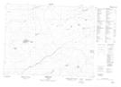
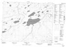
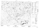
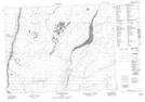
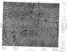
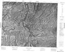
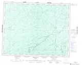
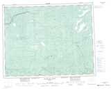
Cheepay River NTS Map Sheets
042J12 Moir Lake Topographic Map at 1:50,000 scale
042J13 Pledger Lake Topographic Map at 1:50,000 scale
042J14 Skene Lake Topographic Map at 1:50,000 scale
042K09 Pitukupi Lake Topographic Map at 1:50,000 scale
042O03 No Title Topographic Map at 1:50,000 scale
042O04 Awagakama River Topographic Map at 1:50,000 scale
042O05 Chemahagan River Topographic Map at 1:50,000 scale
042O06 Cheepay Island Topographic Map at 1:50,000 scale
042J Smoky Falls Topographic Map at 1:250,000 scale
042K Kenogami River Topographic Map at 1:250,000 scale
042O Ghost River Topographic Map at 1:250,000 scale