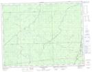
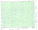
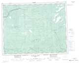
Maps showing Rowlandson, Cochrane, Ontario
Rowlandson is a Geographical area located in Cochrane, Ontario.
- Latitude: 50° 2' 27'' North (decimal: 50.0408333)
- Longitude: 84° 47' 8'' West (decimal: -84.7855555)
- Topography Feature Category: Geographical area
- Geographical Feature: Geographic Township
- Canadian Province/Territory: Ontario
- Location: Cochrane
- Atlas of Canada Locator Map: Rowlandson
- GPS Coordinate Locator Map: Rowlandson Lat/Long
Rowlandson NTS Map Sheets