Canada Topographic Maps

Walls Topo Maps

Topography maps and Latitude/Longitude Location

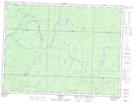
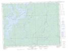
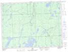
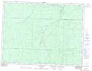
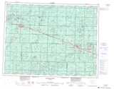
Maps showing Walls, Algoma, Ontario

Walls is a Geographical area located in Algoma, Ontario.

  • Latitude: 48° 59' 46'' North   (decimal: 48.9961111)
  • Longitude: 83° 55' 33'' West   (decimal: -83.9258333)
  • Topography Feature Category: Geographical area
  • Geographical Feature: Geographic Township
  • Canadian Province/Territory: Ontario
  • Location: Algoma
  • Atlas of Canada Locator Map: Walls
  • GPS Coordinate Locator Map: Walls Lat/Long

Walls NTS Map Sheets

042B13 Minnipuka Topographic Map at 1:50,000 scale

042C16 Kabinakagami Lake Topographic Map at 1:50,000 scale

042F01 Oba Topographic Map at 1:50,000 scale

042G04 Roche Lake Topographic Map at 1:50,000 scale

042B Foleyet Topographic Map at 1:250,000 scale

042C White River Topographic Map at 1:250,000 scale

042F Hornepayne Topographic Map at 1:250,000 scale

042G Kapuskasing Topographic Map at 1:250,000 scale

 
Buy Topographic Maps DVD
Newsletter Sign-up

Yes, I want to receive map store discounts.


Bookmark and Share