Maps showing Nat River, Cochrane, Ontario
Nat River is a River located in Cochrane, Ontario and has an elevation of 302 meters.
- Latitude: 48° 48' 15'' North (decimal: 48.8041666)
- Longitude: 82° 7' 23'' West (decimal: -82.1230555)
- Topography Feature Category: River
- Geographical Feature: River
- Canadian Province/Territory: Ontario
- Elevation: 302 meters
- Location: Cochrane
- Atlas of Canada Locator Map: Nat River
- GPS Coordinate Locator Map: Nat River Lat/Long
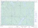
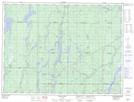
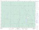
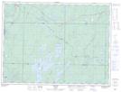
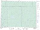
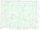
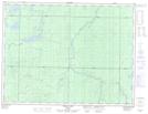
Nat River NTS Map Sheets
041O16 Rush Lake Topographic Map at 1:50,000 scale
042A05 Dana Lake Topographic Map at 1:50,000 scale
042A12 Kamiskotia Lake Topographic Map at 1:50,000 scale
042B01 Foleyet Topographic Map at 1:50,000 scale
042B08 Oswald Lake Topographic Map at 1:50,000 scale
042B09 Elf Lake Topographic Map at 1:50,000 scale
042B16 Griffin Lake Topographic Map at 1:50,000 scale
041O Chapleau Topographic Map at 1:250,000 scale
042A Timmins Topographic Map at 1:250,000 scale
042B Foleyet Topographic Map at 1:250,000 scale