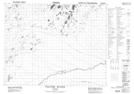
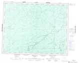
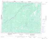
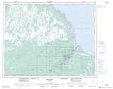
Maps showing Otagwahigan River, Cochrane, Ontario
Otagwahigan River is a River located in Cochrane, Ontario and has an elevation of 35 meters.
- Latitude: 51° 13' 18'' North (decimal: 51.2216666)
- Longitude: 81° 10' 16'' West (decimal: -81.1711111)
- Topography Feature Category: River
- Geographical Feature: River
- Canadian Province/Territory: Ontario
- Elevation: 35 meters
- Location: Cochrane
- Atlas of Canada Locator Map: Otagwahigan River
- GPS Coordinate Locator Map: Otagwahigan River Lat/Long
Otagwahigan River NTS Map Sheets
042J16 Lawry Creek Topographic Map at 1:50,000 scale
042O01 Agwasuk River Topographic Map at 1:50,000 scale
042P03 Cheepash River Topographic Map at 1:50,000 scale
042P04 Bedford Creek Topographic Map at 1:50,000 scale
042P05 Fulton River Topographic Map at 1:50,000 scale
042J Smoky Falls Topographic Map at 1:250,000 scale
042O Ghost River Topographic Map at 1:250,000 scale
042P Moosonee Topographic Map at 1:250,000 scale