Maps showing Missinaibi River, Cochrane, Ontario
Missinaibi River is a River located in Cochrane, Ontario and has an elevation of 59 meters.
- Latitude: 50° 44' 15'' North (decimal: 50.7375000)
- Longitude: 81° 28' 8'' West (decimal: -81.4688888)
- Topography Feature Category: River
- Geographical Feature: River
- Canadian Province/Territory: Ontario
- Elevation: 59 meters
- Location: Cochrane
- Atlas of Canada Locator Map: Missinaibi River
- GPS Coordinate Locator Map: Missinaibi River Lat/Long
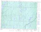
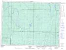
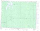
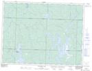
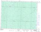
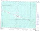
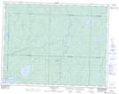
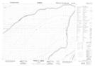
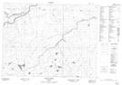
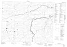
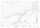
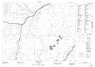
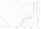
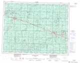
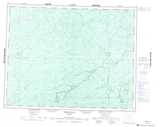
Missinaibi River NTS Map Sheets
042B06 Makonie Lake Topographic Map at 1:50,000 scale
042B11 Peterbell Topographic Map at 1:50,000 scale
042B14 Ericson Creek Topographic Map at 1:50,000 scale
042G03 Opasatika Lake Topographic Map at 1:50,000 scale
042G06 Rock River Topographic Map at 1:50,000 scale
042G11 Mattice Topographic Map at 1:50,000 scale
042G14 Shannon Lake Topographic Map at 1:50,000 scale
042I11 Onakawana Topographic Map at 1:50,000 scale
042I12 Pickett Creek Topographic Map at 1:50,000 scale
042J02 Friday Creek Topographic Map at 1:50,000 scale
042J03 Thunder House Falls Topographic Map at 1:50,000 scale
042J07 Soweska River Topographic Map at 1:50,000 scale
042J08 Wawa Lakes Topographic Map at 1:50,000 scale
042J09 Mccuaig Creek Topographic Map at 1:50,000 scale
042B Foleyet Topographic Map at 1:250,000 scale
042G Kapuskasing Topographic Map at 1:250,000 scale
042I Moose River Topographic Map at 1:250,000 scale
042J Smoky Falls Topographic Map at 1:250,000 scale