Canada Topographic Maps

Fisher Topo Maps

Topography maps and Latitude/Longitude Location

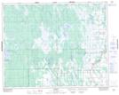
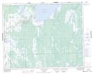
Maps showing Fisher, Manitoba

Fisher is a Other municipal/district area - miscellaneous located in Manitoba.

  • Latitude: 51° 4' 30'' North   (decimal: 51.0749999)
  • Longitude: 97° 35' 00'' West   (decimal: -97.5832999)
  • Topography Feature Category: Other municipal/district area - miscellaneous
  • Geographical Feature: Rural Municipality
  • Canadian Province/Territory: Manitoba
  • Atlas of Canada Locator Map: Fisher
  • GPS Coordinate Locator Map: Fisher Lat/Long

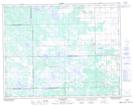
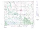
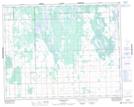
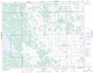
Fisher NTS Map Sheets

062I13 Poplarfield Topographic Map at 1:50,000 scale

062I14 Arborg Topographic Map at 1:50,000 scale

062P03 Shorncliffe Topographic Map at 1:50,000 scale

062P04 Hodgson Topographic Map at 1:50,000 scale

062P05 Harwill Topographic Map at 1:50,000 scale

062P06 Fisher River Topographic Map at 1:50,000 scale

062I Selkirk Topographic Map at 1:250,000 scale

062P Hecla Topographic Map at 1:250,000 scale

 
Buy Topographic Maps DVD
Newsletter Sign-up

Yes, I want to receive map store discounts.


Bookmark and Share