Canada Topographic Maps

Pagato River Topo Maps

Topography maps and Latitude/Longitude Location

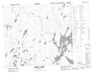
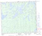
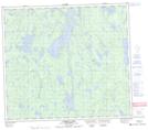
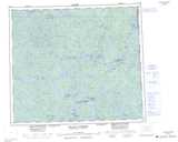
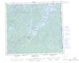
Maps showing Pagato River, Saskatchewan

Pagato River is a River located in Saskatchewan and has an elevation of 308 meters.

  • Latitude: 55° 53' North   (decimal: 55.8834254)
  • Longitude: 102° 8' West   (decimal: -102.1337057)
  • Topography Feature Category: River
  • Geographical Feature: River
  • Canadian Province/Territory: Saskatchewan
  • Elevation: 308 meters
  • Atlas of Canada Locator Map: Pagato River
  • GPS Coordinate Locator Map: Pagato River Lat/Long

Pagato River NTS Map Sheets

063M16 Pagato River Topographic Map at 1:50,000 scale

064D01 Kamatsi Lake Topographic Map at 1:50,000 scale

064D02 Harriott Lake Topographic Map at 1:50,000 scale

063M Pelican Narrows Topographic Map at 1:250,000 scale

064D Numabin Bay Topographic Map at 1:250,000 scale

 
Buy Topographic Maps DVD
Newsletter Sign-up

Yes, I want to receive map store discounts.


Bookmark and Share