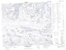
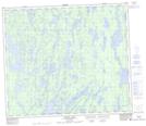
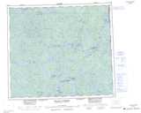
Maps showing Roberts Bay, Saskatchewan
Roberts Bay is a Bay located in Saskatchewan and has an elevation of 338 meters.
- Latitude: 55° 2' North (decimal: 55.0334053)
- Longitude: 102° 13' West (decimal: -102.2170693)
- Topography Feature Category: Bay
- Geographical Feature: Bay
- Canadian Province/Territory: Saskatchewan
- Elevation: 338 meters
- Atlas of Canada Locator Map: Roberts Bay
- GPS Coordinate Locator Map: Roberts Bay Lat/Long
Roberts Bay NTS Map Sheets