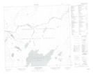
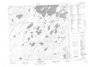
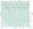
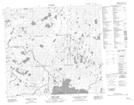
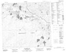
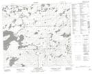
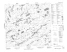
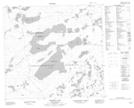
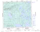
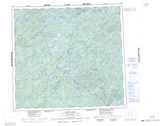
Maps showing Clearwater River, Saskatchewan
Clearwater River is a River located in Saskatchewan and has an elevation of 325 meters.
- Latitude: 56° 42' North (decimal: 56.7001175)
- Longitude: 110° 0' West (decimal: -110.0008167)
- Topography Feature Category: River
- Geographical Feature: River
- Canadian Province/Territory: Saskatchewan
- Elevation: 325 meters
- Atlas of Canada Locator Map: Clearwater River
- GPS Coordinate Locator Map: Clearwater River Lat/Long
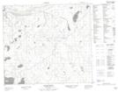
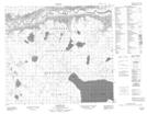
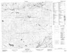
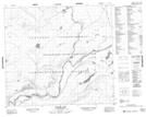
Clearwater River NTS Map Sheets
074C11 Mclean River Topographic Map at 1:50,000 scale
074C12 Wallis Bay Topographic Map at 1:50,000 scale
074C13 Heise Lake Topographic Map at 1:50,000 scale
074C14 Tocker Lake Topographic Map at 1:50,000 scale
074C15 Mackie Rapids Topographic Map at 1:50,000 scale
074C16 Mc Arter Lake Topographic Map at 1:50,000 scale
074D09 Bunting Bay Topographic Map at 1:50,000 scale
074F01 Neff Lake Topographic Map at 1:50,000 scale
074F02 Pickford Lake Topographic Map at 1:50,000 scale
074F07 Langley Lake Topographic Map at 1:50,000 scale
074F10 Koop Lake Topographic Map at 1:50,000 scale
074F11 Forrest Lake Topographic Map at 1:50,000 scale
074C La Loche Topographic Map at 1:250,000 scale
074D Fort Mcmurray Topographic Map at 1:250,000 scale
074F Lloyd Lake Topographic Map at 1:250,000 scale