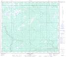
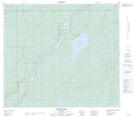
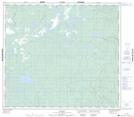
Maps showing Pony Creek, 79-6-W4, Alberta
Pony Creek is a River located in 79-6-W4, Alberta and has an elevation of 533 meters.
- Latitude: 55° 51' 3'' North (decimal: 55.8508333)
- Longitude: 110° 51' 26'' West (decimal: -110.8572222)
- Topography Feature Category: River
- Geographical Feature: Creek
- Canadian Province/Territory: Alberta
- Elevation: 533 meters
- Location: 79-6-W4
- Atlas of Canada Locator Map: Pony Creek
- GPS Coordinate Locator Map: Pony Creek Lat/Long
Pony Creek NTS Map Sheets