Maps showing Little Smoky River, 15-77-24-W5, Alberta
Little Smoky River is a River located in 15-77-24-W5, Alberta and has an elevation of 438 meters.
- Latitude: 55° 40' 25'' North (decimal: 55.6736110)
- Longitude: 117° 37' 38'' West (decimal: -117.6272222)
- Topography Feature Category: River
- Geographical Feature: River
- Canadian Province/Territory: Alberta
- Elevation: 438 meters
- Location: 15-77-24-W5
- Atlas of Canada Locator Map: Little Smoky River
- GPS Coordinate Locator Map: Little Smoky River Lat/Long
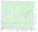
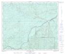
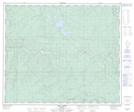
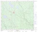
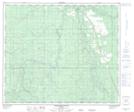
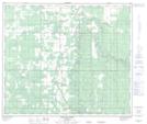
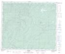
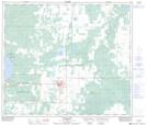
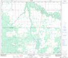
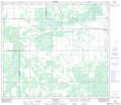
Little Smoky River NTS Map Sheets
083E16 Donald Flats Topographic Map at 1:50,000 scale
083K02 Marsh Head Creek Topographic Map at 1:50,000 scale
083K03 Berland River Topographic Map at 1:50,000 scale
083K04 No Title Topographic Map at 1:50,000 scale
083K06 Tony Creek Topographic Map at 1:50,000 scale
083K07 Iosegun Lake Topographic Map at 1:50,000 scale
083K11 Waskahigan River Topographic Map at 1:50,000 scale
083K14 Asplund Creek Topographic Map at 1:50,000 scale
083L01 No Title Topographic Map at 1:50,000 scale
083N03 Valleyview Topographic Map at 1:50,000 scale
083N06 Whitemud Creek Topographic Map at 1:50,000 scale
083N07 Triangle Topographic Map at 1:50,000 scale
083N11 Donnelly Topographic Map at 1:50,000 scale
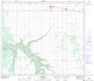
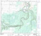
083N12 Watino Topographic Map at 1:50,000 scale
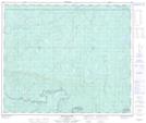
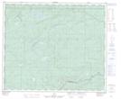
083E Mount Robson Topographic Map at 1:250,000 scale
083K Iosegun Lake Topographic Map at 1:250,000 scale
083L Wapiti Topographic Map at 1:250,000 scale
083N Winagami Topographic Map at 1:250,000 scale