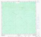
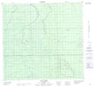
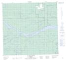
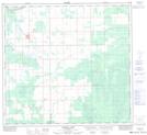
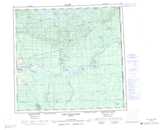
Maps showing Bear River, 107-9-W5, Alberta
Bear River is a River located in 107-9-W5, Alberta and has an elevation of 261 meters.
- Latitude: 58° 19' 51'' North (decimal: 58.3308333)
- Longitude: 115° 24' 50'' West (decimal: -115.4138888)
- Topography Feature Category: River
- Geographical Feature: River
- Canadian Province/Territory: Alberta
- Elevation: 261 meters
- Location: 107-9-W5
- Atlas of Canada Locator Map: Bear River
- GPS Coordinate Locator Map: Bear River Lat/Long
Bear River NTS Map Sheets
084F16 Buffalo Hill Topographic Map at 1:50,000 scale
084J04 Tall Cree Topographic Map at 1:50,000 scale
084J05 Sled Island Topographic Map at 1:50,000 scale
084J06 Adams Landing Topographic Map at 1:50,000 scale
084K01 Mustus Lake Topographic Map at 1:50,000 scale
084F Bison Lake Topographic Map at 1:250,000 scale
084J John D'Or Prairie Topographic Map at 1:250,000 scale
084K Mount Watt Topographic Map at 1:250,000 scale