Maps showing South Saskatchewan River, Alberta
South Saskatchewan River is a River located in Alberta and has an elevation of 620 meters.
- Latitude: 50° 54' 12'' North (decimal: 50.9033333)
- Longitude: 109° 60' 00'' West (decimal: -109.9999999)
- Topography Feature Category: River
- Geographical Feature: River
- Canadian Province/Territory: Alberta
- Elevation: 620 meters
- Atlas of Canada Locator Map: South Saskatchewan River
- GPS Coordinate Locator Map: South Saskatchewan River Lat/Long
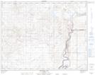
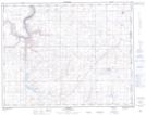
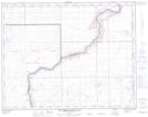
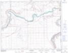
South Saskatchewan River NTS Map Sheets
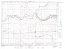
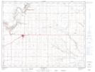
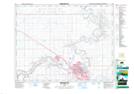
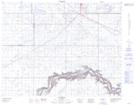
072E13 Grassy Lake Topographic Map at 1:50,000 scale
072E14 Bow Island Topographic Map at 1:50,000 scale
072L02 Medicine Hat Topographic Map at 1:50,000 scale
072L03 Suffield Topographic Map at 1:50,000 scale
072L07 Watching Hill Topographic Map at 1:50,000 scale
072L08 Hilda Topographic Map at 1:50,000 scale
072L09 The Middle Sand Hills Topographic Map at 1:50,000 scale
072L16 Bindloss Topographic Map at 1:50,000 scale
072E Foremost Topographic Map at 1:250,000 scale
072L Medicine Hat Topographic Map at 1:250,000 scale