Maps showing Christina River, 88-7-W4, Alberta
Christina River is a River located in 88-7-W4, Alberta and has an elevation of 724 meters.
- Latitude: 56° 40' 11'' North (decimal: 56.6697222)
- Longitude: 111° 4' 2'' West (decimal: -111.0672222)
- Topography Feature Category: River
- Geographical Feature: River
- Canadian Province/Territory: Alberta
- Elevation: 724 meters
- Location: 88-7-W4
- Atlas of Canada Locator Map: Christina River
- GPS Coordinate Locator Map: Christina River Lat/Long
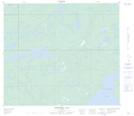
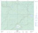
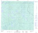
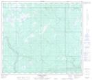
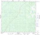
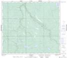
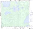
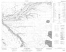
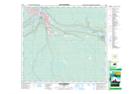
Christina River NTS Map Sheets
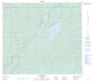
073M10 Christina Lake Topographic Map at 1:50,000 scale
073M11 Conklin Topographic Map at 1:50,000 scale
073M13 No Title Topographic Map at 1:50,000 scale
073M14 Waddell Creek Topographic Map at 1:50,000 scale
073M15 Bohn Lake Topographic Map at 1:50,000 scale
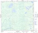
074D01 Watchusk Lake Topographic Map at 1:50,000 scale
074D02 Quigley Topographic Map at 1:50,000 scale
074D03 No Title Topographic Map at 1:50,000 scale
074D04 Horse River Topographic Map at 1:50,000 scale
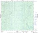
074D07 Cheecham Topographic Map at 1:50,000 scale
074D08 Gipsy Lake Topographic Map at 1:50,000 scale
074D10 Hollies Creek Topographic Map at 1:50,000 scale
074D11 Fort Mcmurray Topographic Map at 1:50,000 scale
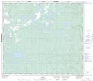
073M Winefred Lake Topographic Map at 1:250,000 scale
074D Fort Mcmurray Topographic Map at 1:250,000 scale