Maps showing Yellowhead County, 22-51-19-W5, Alberta
Yellowhead County is a Major municipal/district area - major agglomeration located in 22-51-19-W5, Alberta.
- Latitude: 53° 24' 37'' North (decimal: 53.4102777)
- Longitude: 116° 42' 40'' West (decimal: -116.7111111)
- Topography Feature Category: Major municipal/district area - major agglomeration
- Geographical Feature: Municipal District
- Canadian Province/Territory: Alberta
- Location: 22-51-19-W5
- Atlas of Canada Locator Map: Yellowhead County
- GPS Coordinate Locator Map: Yellowhead County Lat/Long
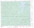
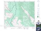
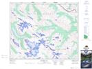
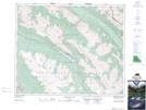
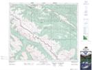
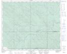
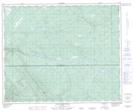
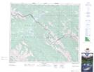
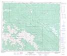
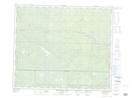
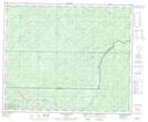
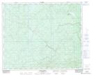
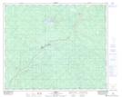
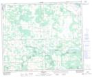
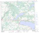
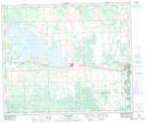
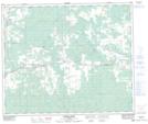
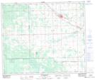
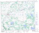
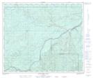
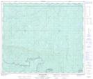
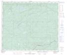
Yellowhead County NTS Map Sheets
083B13 Nordegg River Topographic Map at 1:50,000 scale
083C10 George Creek Topographic Map at 1:50,000 scale
083C11 Southesk Lake Topographic Map at 1:50,000 scale
083C13 Medicine Lake Topographic Map at 1:50,000 scale
083C14 Mountain Park Topographic Map at 1:50,000 scale
083C15 Cardinal River Topographic Map at 1:50,000 scale
083C16 Blackstone River Topographic Map at 1:50,000 scale
083E08 Rock Lake Topographic Map at 1:50,000 scale
083E09 Moberly Creek Topographic Map at 1:50,000 scale
083E15 Pierre Greys Lakes Topographic Map at 1:50,000 scale
083E16 Donald Flats Topographic Map at 1:50,000 scale
083F01 Raven Creek Topographic Map at 1:50,000 scale
083F07 Erith Topographic Map at 1:50,000 scale
083G07 Tomahawk Topographic Map at 1:50,000 scale
083G10 Isle Lake Topographic Map at 1:50,000 scale
083G11 Chip Lake Topographic Map at 1:50,000 scale
083G12 Carrot Creek Topographic Map at 1:50,000 scale
083G14 Mayerthorpe Topographic Map at 1:50,000 scale
083G15 Sangudo Topographic Map at 1:50,000 scale
083K02 Marsh Head Creek Topographic Map at 1:50,000 scale
083K03 Berland River Topographic Map at 1:50,000 scale
083K04 No Title Topographic Map at 1:50,000 scale
083B Rocky Mountain House Topographic Map at 1:250,000 scale
083C Brazeau Lake Topographic Map at 1:250,000 scale
083E Mount Robson Topographic Map at 1:250,000 scale
083F Edson Topographic Map at 1:250,000 scale
083G Wabamun Lake Topographic Map at 1:250,000 scale
083K Iosegun Lake Topographic Map at 1:250,000 scale