Canada Topographic Maps

Lillooet Range Topo Maps

Topography maps and Latitude/Longitude Location

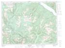
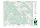
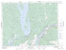
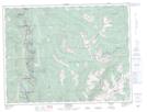
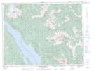
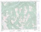
Maps showing Lillooet Range, Yale Division Yale Land District, British Columbia

Lillooet Range is a Mountain located in Yale Division Yale Land District, British Columbia.

  • Latitude: 49° 53' North   (decimal: 49.8833000)
  • Longitude: 121° 50' West   (decimal: -121.8332999)
  • Topography Feature Category: Mountain
  • Geographical Feature: Range
  • Canadian Province/Territory: British Columbia
  • Location: Yale Division Yale Land District
  • GPS Coordinate Locator Map: Lillooet Range Lat/Long

Lillooet Range NTS Map Sheets

092G09 Stave River Topographic Map at 1:50,000 scale

092G16 Glacier Lake Topographic Map at 1:50,000 scale

092H05 Harrison Lake Topographic Map at 1:50,000 scale

092H11 Spuzzum Topographic Map at 1:50,000 scale

092H12 Mount Urquhart Topographic Map at 1:50,000 scale

092H13 Scuzzy Mountain Topographic Map at 1:50,000 scale

092G Vancouver Topographic Map at 1:250,000 scale

092H Hope Topographic Map at 1:250,000 scale

092I Ashcroft Topographic Map at 1:250,000 scale

 
Buy Topographic Maps DVD
Newsletter Sign-up

Yes, I want to receive map store discounts.


Bookmark and Share