Canada Topographic Maps

Klua Creek Topo Maps

Topography maps and Latitude/Longitude Location

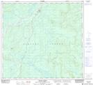
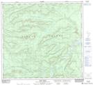
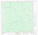
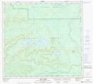
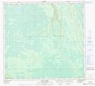
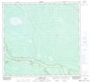
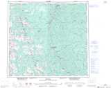
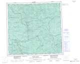
Maps showing Klua Creek, Peace River Land District, British Columbia

Klua Creek is a River located in Peace River Land District, British Columbia and has an elevation of 328 meters.

  • Latitude: 58° 32' North   (decimal: 58.5333000)
  • Longitude: 122° 13' West   (decimal: -122.2167000)
  • Topography Feature Category: River
  • Geographical Feature: Creek
  • Canadian Province/Territory: British Columbia
  • Elevation: 328 meters
  • Location: Peace River Land District
  • Atlas of Canada Locator Map: Klua Creek
  • GPS Coordinate Locator Map: Klua Creek Lat/Long

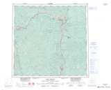
Klua Creek NTS Map Sheets

094G15 Bougie Creek Topographic Map at 1:50,000 scale

094G16 Boat Creek Topographic Map at 1:50,000 scale

094I04 Dehacho Creek Topographic Map at 1:50,000 scale

094J01 Klua Lakes Topographic Map at 1:50,000 scale

094J08 Klua Creek Topographic Map at 1:50,000 scale

094J09 Clarke Lake Topographic Map at 1:50,000 scale

094G Trutch Topographic Map at 1:250,000 scale

094I Fontas River Topographic Map at 1:250,000 scale

094J Fort Nelson Topographic Map at 1:250,000 scale

 
Buy Topographic Maps DVD
Newsletter Sign-up

Yes, I want to receive map store discounts.


Bookmark and Share