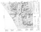
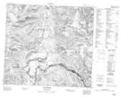
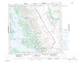
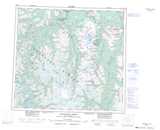
Maps showing Geology Ridge, Cassiar Land District, British Columbia
Geology Ridge is a Mountain located in Cassiar Land District, British Columbia.
- Latitude: 57° 21' 46'' North (decimal: 57.3627778)
- Longitude: 131° 58' 39'' West (decimal: -131.9775)
- Topography Feature Category: Mountain
- Geographical Feature: Ridge
- Canadian Province/Territory: British Columbia
- Location: Cassiar Land District
- Atlas of Canada Locator Map: Geology Ridge
- GPS Coordinate Locator Map: Geology Ridge Lat/Long
Geology Ridge NTS Map Sheets